 INSPIRE Geoportal
Landgræðslusvæði
Gagnasett sem sýnir yfirlitsupplýsingar um helstu svæði þar sem landgræðsla er stunduð og Land og skógur kemur að á einn eða annan hátt. Undanskilin eru þó svæði í verkefninu Bændur græða landið.
Simple
- Date (Publication)
- 2013-04-11
- Citation identifier
- {B8C19EAB-6A3A-4C91-B639-E369B897C27F}
- Point of contact
-
Organisation name Individual name Electronic mail address Role Land og skógur
Point of contact
- Keywords
-
-
landgræðsla
-
landgræðslusvæði
-
GSL
-
INSPIRE
-
- Access constraints
- Other restrictions
- Other constraints
- no limitations to public access
- Use constraints
- Other restrictions
- Other constraints
-
Land og skógur afhendir gögnin án gjalds. Geta þarf heimilda.
- Spatial representation type
- Vector
- Denominator
- 0
- Language
- ice
- Topic category
-
- Environment
))
- Reference system identifier
- http://www.opengis.net/def/crs/EPSG/0/3057
- Distribution format
-
Name Version ESRI Shapefile
1.0
- OnLine resource
-
Protocol Linkage Name WWW:LINK-1.0-http--link
https://island.is/s/land-og-skogur Land og skógur, heimasíða
WWW:LINK-1.0-http--link
https://kort.lmi.is/ Landupplýsingagátt
WWW:LINK-1.0-http--link
http://luklgr.maps.arcgis.com/apps/webappviewer/index.html?id=6fcd75b9afb5475fadcea81685346751 Kortasjá Lands og skógar
- Hierarchy level
- Dataset
Domain consistency
Conformance result
- Date (Publication)
- 2016-03-24
- Explanation
-
Validation has not been performed.
- Pass
- Yes
Conformance result
- Date (Publication)
- 2010-12-08
- Explanation
-
Information required according to INSPIRE Geoportal Validator´s verification report. Validation has not been performed.
- Pass
- No
- Statement
-
Gögn um helstu svæði þar sem landgræðsla er stunduð og Land og skógur kemur að á einn eða annan hátt. Undanskilin eru þó svæði sem falla undir verkefnið Bændur græða landið.
Metadata
- File identifier
- {AFD58A41-4ACC-48AD-8993-0A3974A9C7BE} XML
- Metadata language
- English
- Hierarchy level
- Dataset
- Date stamp
- 2024-01-05T12:51:49
- Metadata standard name
-
INSPIRE Metadata Implementing Rules
- Metadata standard version
-
Technical Guidelines based on EN ISO 19115 and EN ISO 19119 (Version 1.2)
- Metadata author
-
Organisation name Individual name Electronic mail address Role Land og skógur
Point of contact
Overviews
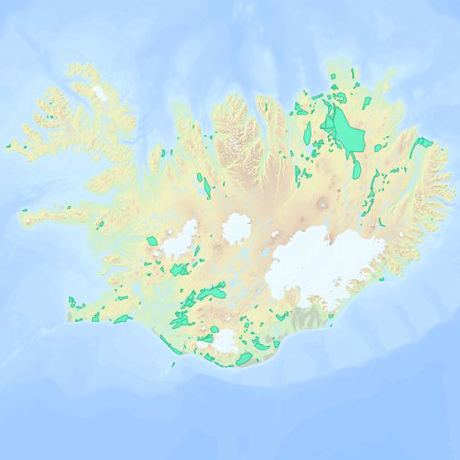
Spatial extent
Provided by
