 INSPIRE Geoportal
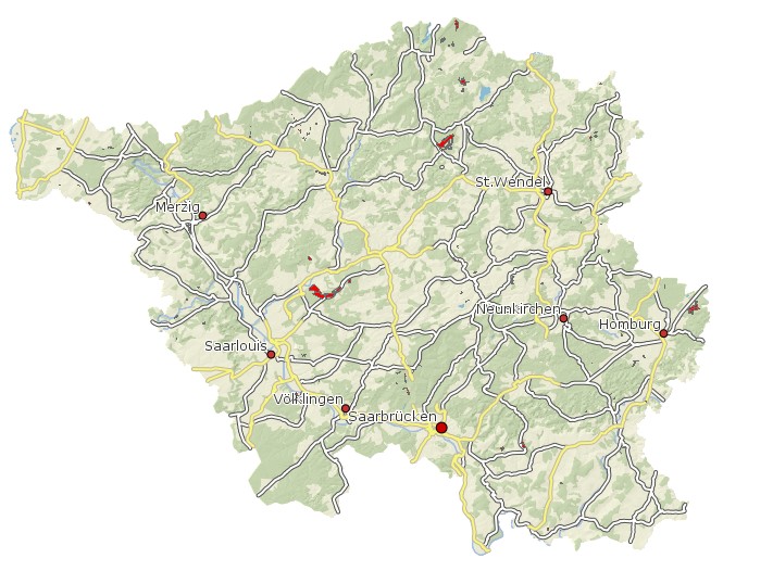
Ökokontoflächen Saarland
Ökokontoflächen Saarlands; Register der Ökokonto-Gesamtflächen, übergeordnete Kopfdaten zu den Ökokonto-Teilflächen - Aktualisierungsturnus: fortlaufend - Rechtsgrundlage: § 17 Abs. 6 BNatSchG i.V.m. § 30 Abs. 6 SNG, im GDZ als Handlung modelliert (Maßnahme Ökokonto); die Multi Featureklasse setzt sich zusammen aus flächenhaften Featureklasse GDZ2010.A_n8oek und der Businesstabelle mit den Sachdaten (GDZ2010.n8oek) und wurde dann exportiert in die Filegeodatabase. Es sind folgende anwenderrelevante Attribute vorhanden: Maßnahme NUMMER Maßnahme BEMERKUNG ZULASSUNGSART VORL_FREI: vorläufig freigegeben INSDATE: Importdatum ins GDZ M_TRAEGER_K : Träger der Maßnahme (Kurzform) M_TRAEGER_L : Träger der Maßnahme (Langform) FLAECHE_HA : Fläche in Ha GESAMTVOLUMEN_OEW : Gesamtvolumen ÖW OEW_REST : aktuell verfügbare ÖW BESCHEIDDATUM KENNUNG BEHOERDE AZ_BESCHEID : Aktenzeichen des Bescheids GENEHMIGUNGSEMPFAENGER M_VERANTWORTLICHER FLAECHENANZAHL BEMERKUNG BEZEICHNUNG M_BEZEICHNUNG AZ_BEHOERDE RECHTSNACHFOLGER FREIPROZ: Anteil der vorläufig freigegebenen Fläche in % EINSPEICHERUNGSDATUM : Datum der Einspeicherung in OSIRIS
Simple
- Date (Creation)
- 2013-01-31
- Date (Revision)
- 2023-10-31
- Citation identifier
- https://registry.gdi-de.org/id/de.sl/0789d899-2dee-4eb0-a5b8-716eabc3da09
- Point of contact
-
Organisation name Individual name Electronic mail address Role Ministerium für Umwelt, Klima, Mobilität, Agrar und Verbraucherschutz
Referat E/6 Geodatenzentrum
Geodatenzentrum@umwelt.saa Geodatenzentrum@umwelt.saarland.de
Point of contact Landesamt für Umwelt- und Arbeitsschutz
Fachbereich 3.1 Natur- und Artenschutz
lua@lua.saa lua@lua.saarland.de
Point of contact Ministerium für Umwelt, Klima, Mobilität, Agrar und Verbraucherschutz
Referat D/1 Naturschutz, Natura 2000 Management
poststelle@umwelt.saa poststelle@umwelt.saarland.de
Point of contact
- Resource format
-
Name Version filegdb-featureClass
10.0
-
GEMET - INSPIRE themes, version 1.0
-
-
Bewirtschaftungsgebiete/Schutzgebiete/geregelte Gebiete und Berichterstattungseinheiten
-
-
GEMET - Concepts, version 2.4
-
-
Planungsunterlagen/ Kataster
-
- Place
-
-
Saarland
-
- Keywords
-
-
geoportal
-
inspireidentifiziert
-
Naturschutz
-
-
mapbender.2.inspireWholeArea
-
-
2500
-
-
mapbender.2.inspireActualCoverage
-
-
2500
-
-
Spatial scope
-
-
Regional
-
Resource constraints
Resource constraints
Resource constraints
Resource constraints
Resource constraints
Resource constraints
Resource constraints
Resource constraints
- Classification
- Unclassified
- Use limitation
-
Es gelten keine Bedingungen.
- Access constraints
- Other restrictions
- Other constraints
- Es gelten keine Zugriffsbeschränkungen
- Use constraints
- Other restrictions
- Other constraints
- Es gelten keine Bedingungen
- Other constraints
-
Die Daten unterliegen dem Urheberrecht. Jede Vervielfältigung bedarf einer Genehmigung. Die Nutzung für kommerzielle Zwecke ist nicht gestattet. Ein Quellenvermerk ist stets und bei jedweder Art der Nutzung erforderlich. Das LVGL übernimmt keine Haftung für die Vollständigkeit und die Fehlerfreiheit der Geofachdaten. Insbesondere übernimmt das LVGL keine Gewähr dafür, dass die Geofachdaten den Anforderungen und Zwecken des Nutzers genügen. Die Verantwortung für die richtige Auswahl und die Folgen der Benutzung der Geofachdaten sowie der damit beabsichtigten oder erzielten Ergebnisse trägt der Nutzer. Des Weiteren verweisen wir auf die geltenden Nutzungsbedingungen für Geofachdaten des Landesamtes für Vermessung, Geoinformation und Landentwicklung (LVGL). https://www.shop.lvgl.saarland.de/cloud/index.php/s/Nutzungsbedingungen_Geofachdaten#pdfviewer
- Spatial representation type
- Vector
- Denominator
- 5000
- Language
- Deutsch
- Character set
- UTF8
- Topic category
-
- Planning cadastre
))
- Geographic identifier
- Saarland
- Geographic identifier
- 100000000000
- Unique resource identifier
- EPSG:31466
- Distribution format
-
Name Version Esri Shape
1.0
- Distributor contact
-
Organisation name Individual name Electronic mail address Role Ministerium für Umwelt, Klima, Mobilität, Agrar und Verbraucherschutz
Referat E/6 Geodatenzentrum
Geodatenzentrum@umwelt.saa Geodatenzentrum@umwelt.saarland.de
Distributor
- OnLine resource
-
Protocol Linkage Name https://geoportal.saarland.de/layer/view/39869
- OnLine resource
-
Protocol Linkage Name https://geoportal.saarland.de/arcgis/services/Internet/Naturschutz/MapServer/WFSServer?VERSION=1.1.0&REQUEST=GetCapabilities&SERVICE=WFS
- Hierarchy level
- Dataset
Conformance result
- Date (Publication)
- 2010-12-08
- Explanation
-
Die Daten wurden mit dem EU-Validator überprüft.
- Pass
- No
- Statement
-
Aus OSIRIS, Digitalisierung auf Grundlage von eingereichten Planungen durch FB 3.1 LUA. Attribute nur Kopfdaten.
Metadata
- File identifier
- 0789d899-2dee-4eb0-a5b8-716eabc3da09 XML
- Metadata language
- Deutsch
- Character set
- UTF8
- Hierarchy level
- Dataset
- Date stamp
- 2023-11-02
- Metadata standard name
-
ISO19115
- Metadata standard version
-
2003/Cor.1:2006
- Metadata author
-
Organisation name Individual name Electronic mail address Role Ministerium für Umwelt, Klima, Mobilität, Agrar und Verbraucherschutz
Referat E/6 Geodatenzentrum
Geodatenzentrum@umwelt.saa Geodatenzentrum@umwelt.saarland.de
Point of contact
- Dataset URI
-
M:\suis\GDZ_GDB.gdb?ResourceName=Oekokontoflaechen
Overviews
Spatial extent
Provided by
