INSPIRE Geoportal
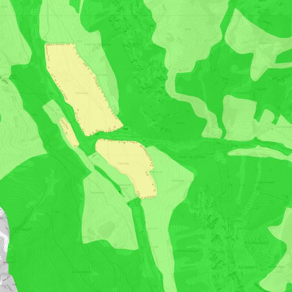
Pflanzenschutzgebiete
Das Liechtensteiner Alpengebiet ist ein Pflanzenschutzgebiet.
Simple
- Alternate title
-
Schutzgebiet für Pilze
- Date (Publication)
- 2006-04-14
- Citation identifier
- https://metadata.geo.llv.li/085a5661-f405-4ea3-9342-ea2c3fbff74e
- Purpose
-
Im Pflanzenschutzgebiet ist das Ausreissen, Ausgraben und Pflücken von Pflanzen verboten. (Verordnung zum Schutz der Gebirgspflanzen, LGBL. 1989 nr. 49)
- Status
- Completed
- Point of contact
-
Organisation name Individual name Electronic mail address Role Amt für Umwelt
Point of contact
- Resource format
-
Name Version INTERLIS 1 (ITF)
ESRI Shapefile (SHP)
-
GEMET
-
-
nature conservation
-
national reserve
-
fungus
-
mushroom
-
-
GEMET - INSPIRE themes, version 1.0
-
-
Protected sites
-
-
geocat.ch
-
-
INSPIRE
-
-
Spatial scope
-
-
Local
-
-
GEMET
-
-
landscape
-
-
geocat.ch
-
-
nature
-
- Access constraints
- Other restrictions
- Other constraints
- no limitations to public access
- Use limitation
-
Zugangs- und Nutzungsbedingungen
- Use constraints
- Other restrictions
- Other constraints
-
gebührenpflichtig
- Spatial representation type
- Vector
- Distance
- 1 m
- Language
- Deutsch
- Character set
- UTF8
- Topic category
-
- Environment
- Farming
Extent
- Description
-
Liechtenstein
))

- Reference system identifier
- http://www.opengis.net/def/crs/EPSG/0/21782
- Reference system identifier
- http://www.opengis.net/def/crs/EPSG/0/4936
- Geometric object type
- Surface
- Geometric object count
- 50
- Distribution format
-
Name Version INTERLIS 1 (ITF)
AutoCAD DXF (DXF)
ESRI Shapefile (SHP)
- Distributor contact
-
Organisation name Individual name Electronic mail address Role Abt. Vermessung und Geoinformation (ATG)
Point of contact
- OnLine resource
-
Protocol Linkage Name WWW:LINK
http://www.gdi.llv.li Geodatenportal
WWW:LINK-1.0-http--link
https://service.geo.llv.li/wmsli/service?service=WMS&language=ger&request=GetCapabilities OGC WMS Service der Liechtensteinen Landesverwaltung
- Hierarchy level
- Dataset
Conformance result
- Date (Publication)
- 2010-12-08
- Explanation
-
nicht geprüft
- Pass
- No
- Statement
-
Erfassung auf der Grundlage der Grundstücksgrenzen und/oder Luftbilern
- Language
- Deutsch
- Included with dataset
- Date (Publication)
- 2006-03-14
Metadata
- File identifier
- 085a5661-f405-4ea3-9342-ea2c3fbff74e XML
- Metadata language
- Deutsch
- Character set
- UTF8
- Hierarchy level
- Dataset
- Date stamp
- 2024-01-05T13:43:13.076Z
- Metadata standard name
-
GM03 2+
- Metadata author
-
Organisation name Individual name Electronic mail address Role Amt für Umwelt
Point of contact
- Dataset URI
- Other language
-
Language Character encoding French UTF8 Italian UTF8 English UTF8 German UTF8