INSPIRE Geoportal
Neophyte sites
The geodata set includes the known locations of neophytes in Liechtenstein. According to the Release Ordinance LGBl. 2011 No. 90 (FrSV), humans, animals and the environment must be protected from pathogenic or alien organisms.
Invasive alien plants are non-native plants that have been introduced from foreign regions (usually from other continents), intentionally or unintentionally, that become established in nature (reproduction in the wild) and spread efficiently at the expense of native species.
Simple
- Alternate title
-
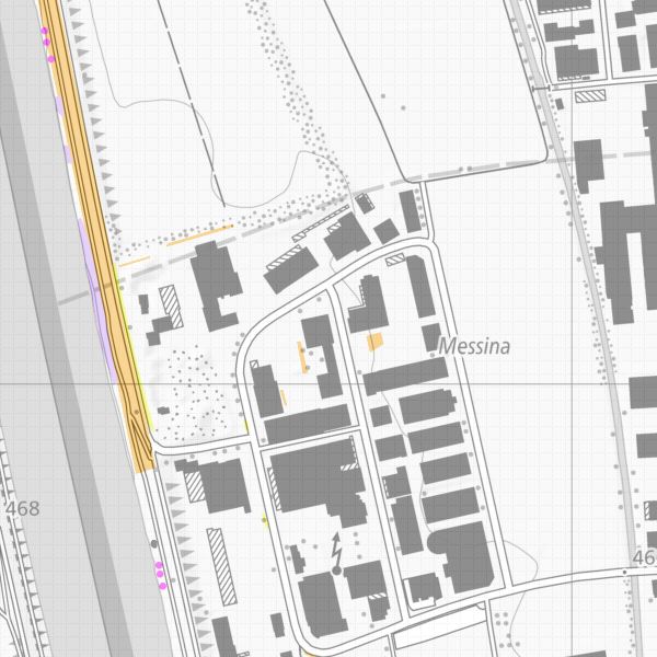
Map of neophyte locations (Liechtenstein)
- Date (Creation)
- 2013-11-13
- Citation identifier
- https://metadata.geo.llv.li/1a7515a1-3353-45a2-9d41-d9b0061af89b
- Purpose
-
Combating neophytes
- Status
- Completed
- Point of contact
-
Organisation name Individual name Electronic mail address Role Civil Engineering and Geoinformation Office
Publisher Office for the Environment
Owner
- Maintenance and update frequency
- As needed
-
GEMET
-
-
wildlife protection
-
plant population
-
plant species
-
-
geocat.ch
-
-
INSPIRE
-
OpenData
-
neobiota
-
-
GEMET - INSPIRE themes, version 1.0
-
-
Species distribution
-
Resource constraints
- Use limitation
-
No Conditions apply
- Access constraints
- Other restrictions
- Use constraints
- Other restrictions
- Other constraints
- No limitations to public access
- Access constraints
- Other restrictions
- Use constraints
- Other restrictions
- Other constraints
- No conditions to access and use
- Other constraints
- Opendata BY: Open use. Must provide the source.
- Spatial representation type
- Vector
- Denominator
- 500
- Language
- Deutsch
- Character set
- UTF8
- Topic category
-
- Geoscientific information
Extent
- Description
-
Liechtenstein
))

- Reference system identifier
- http://www.opengis.net/def/crs/EPSG/0/4936
- Reference system identifier
- http://www.opengis.net/def/crs/EPSG/0/4936
- Topology level
- Full planar graph
- Geometric object type
- Surface
- Geometric object count
- 1
- Distribution format
-
Name Version INTERLIS 1 (ITF)
AutoCAD DXF (DXF)
ESRI Shapefile (SHP)
- Distributor contact
-
Organisation name Individual name Electronic mail address Role Surveying and Geoinformation Division
Point of contact
- OnLine resource
-
Protocol Linkage Name WWW:LINK
https://geodaten.llv.li/ Geodata portal of the Liechtenstein National Administration
OGC:WMS
https://service.geo.llv.li/wmsli/service?service=WMS&language=ger&request=GetCapabilities OGC WMS Service of the Liechtenstein State Administration
WWW:DOWNLOAD-URL
https://service.geo.llv.li/download/getfileByUUID.php?id=1a7515a1-3353-45a2-9d41-d9b0061af89b Zip download via the geodata portal
- Hierarchy level
- Dataset
- Other
-
Alle Ebenen
Conformance result
- Title
-
COMMISSION REGULATION (EU) No 1089/2010 of 23 November 2010 implementing Directive 2007/2/EC of the European Parliament and of the Council as regards interoperability of spatial data sets and services
- Date (Publication)
- 2010-12-08
- Explanation
-
nicht geprüft
- Pass
- No
- Statement
-
Crowdsourcing
Metadata
- File identifier
- 1a7515a1-3353-45a2-9d41-d9b0061af89b XML
- Metadata language
- Deutsch
- Character set
- UTF8
- Hierarchy level
- Dataset
- Date stamp
- 2024-10-30T10:46:22.088Z
- Metadata standard name
-
GM03 2+
- Metadata author
-
Organisation name Individual name Electronic mail address Role Surveying and Geoinformation Division
Point of contact
- Other language
-
Language Character encoding French UTF8 Italian UTF8 English UTF8 German UTF8