 INSPIRE Geoportal
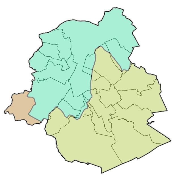
INSPIRE - Preliminary Flood Risk Assessment for Past Events
Brussels-Capital Region: Map of the areas affected by historical flooding (past events). Prepared in accordance with Article 4 of the European Flood Directive 2007/60/EC.
Simple
- Date (Revision)
- 2018-04-30
- Date (Publication)
- 2018-04-30
- Date (Creation)
- 2007-09-17
- Citation identifier
- BE.BELB / BRU_ENVI_1e441736-eeba-49c4-b142-0429ede65be0
- Point of contact
-
Organisation name Individual name Electronic mail address Role Brussels Environment geodata@environnement.bru geodata@environnement.brussels
Point of contact
-
GeoBru Administrative Regions
-
-
Belgium
-
Région de Bruxelles-Capitale
-
-
GeoBru brussels keywords
-
-
Reporting Inspire
-
- Spatial scope
-
-
Regional
-
- Access constraints
- Other restrictions
- Other constraints
- No limitations to public access
- Use constraints
- Other restrictions
- Other constraints
- Creative Commons Attribution (CC-BY) - required citation of data source. The full license is available here: https://creativecommons.org/licenses/by/4.0/legalcode
- Spatial representation type
- Vector
- Language
- English
- Topic category
-
- Geoscientific information
))
- Unique resource identifier
- EPSG:3035
- Distribution format
-
Name Version GML
- Units of distribution
-
B
- Transfer size
- 353945
- OnLine resource
-
Protocol Linkage Name WWW:DOWNLOAD-1.0-http--download
https://app.bruxellesenvironnement.be/carto/NaturalRiskZones_ObservedEvent.gml Preliminary Flood Risk Assessment for Past Events
- OnLine resource
-
Protocol Linkage Name OGC:WMS
https://wms.environnement.brussels/belb_inspire_observed_event?VERSION=1.3.0&SERVICE=wms&REQUEST=GetCapabilities NZ.ObservedEvent
- Hierarchy level
- Dataset
Conformance result
- Date (Publication)
- 2010-12-08
- Explanation
-
The dataset does fullfill the minimal requirements
- Pass
- Yes
- Statement
-
Bruxelles Environnement / Leefmilieu Brussel
Metadata
- File identifier
- 1e441736-eeba-49c4-b142-0429ede65be0 XML
- Metadata language
- Français
- Character set
- UTF8
- Hierarchy level
- Dataset
- Hierarchy level name
-
dataset
- Date stamp
- 2023-12-13T22:31:35
- Metadata standard name
-
INSPIRE Metadata Implementing Rules
- Metadata standard version
-
Technical Guidelines for implementing dataset and service metadata based on ISO/TS 19139:2007 (Version 2.0.1)
- Metadata author
-
Organisation name Individual name Electronic mail address Role Brussels Environment geodata@environnement.bru geodata@environnement.brussels
Point of contact
- Other language
-
Language Character encoding Dutch; Flemish UTF8 English UTF8 French UTF8
Overviews

Spatial extent
Provided by
