INSPIRE Geoportal
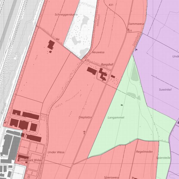
Landwirtschafltiche Bodentypen
Perimeterkarte mit Typisierung der landwirtschaftlich nutzbaren Flächen in Mineralische Böden (A), Mischböden (B) sowie Moorböden (C)
Simple
- Alternate title
-
Bodentypen Flächen
- Date (Creation)
- 1999-02-19
- Citation identifier
- https://metadata.geo.llv.li/2e0566eb-af7c-493c-abec-81f990c96161
- Purpose
-
Landwirtschaftliche Nutzung
- Status
- Completed
- Point of contact
-
Organisation name Individual name Electronic mail address Role Amt für Umwelt
Point of contact
- Maintenance and update frequency
- As needed
-
GEMET themes
-
-
agriculture
-
soil
-
-
geocat.ch
-
-
INSPIRE
-
agricultural exploitation
-
-
GEMET
-
-
agriculture
-
soil
-
-
Spatial scope
-
-
National
-
-
GEMET - INSPIRE themes, version 1.0
-
-
Soil
-
- Access constraints
- Other restrictions
- Other constraints
- No conditions to access and use
- Use limitation
-
Zugangs- und Nutzungsbedingungen
- Access constraints
- Other restrictions
- Other constraints
-
gebührenpflichtig
- Spatial representation type
- Vector
- Language
- Deutsch
- Character set
- UTF8
- Topic category
-
- Geoscientific information
- Farming
Extent
- Description
-
Liechtenstein
N
S
E
W
))

- Reference system identifier
- http://www.opengis.net/def/crs/EPSG/0/21782
- Reference system identifier
- http://www.opengis.net/def/crs/EPSG/0/4936
- Topology level
- Full planar graph
- Geometric object type
- Surface
- Geometric object count
- 81
- Distribution format
-
Name Version INTERLIS 1 (ITF)
ESRI Shapefile (SHP)
AutoCAD DXF (DXF)
- Distributor contact
-
Organisation name Individual name Electronic mail address Role Abt. Vermessung und Geoinformation (ATG)
Point of contact
- OnLine resource
-
Protocol Linkage Name WWW:LINK
https://www.llv.li/inhalt/12562/amtsstellen/geodatenportal Geodatenportal
WWW:LINK-1.0-http--link
https://service.geo.llv.li/wmsli/service?service=WMS&language=ger&request=GetCapabilities OGC WMS Service der Liechtensteinen Landesverwaltung
- Hierarchy level
- Dataset
Conformance result
- Date (Publication)
- 2010-12-08
- Explanation
-
Gemäss INSPIRE Bestandteil des Themas "Boden"
- Pass
- No
- Statement
-
Konstruktion auf der Grundlage der Amtlichen Vermessung
- Included with dataset
- Date (Creation)
- 2009-12-10
Metadata
- File identifier
- 2e0566eb-af7c-493c-abec-81f990c96161 XML
- Metadata language
- Deutsch
- Character set
- UTF8
- Hierarchy level
- Dataset
- Date stamp
- 2023-03-06T15:45:41.263Z
- Metadata standard name
-
GM03 2+
- Metadata author
-
Organisation name Individual name Electronic mail address Role Amt für Umwelt
Point of contact
- Other language
-
Language Character encoding French UTF8 Italian UTF8 English UTF8 German UTF8