INSPIRE Geoportal
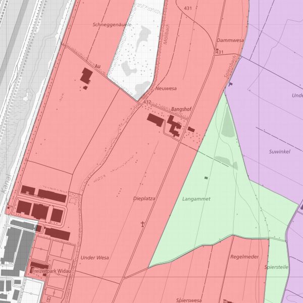
Landwirtschafltiche Bodentypen
Perimeterkarte mit Typisierung der landwirtschaftlich nutzbaren Flächen in Mineralische Böden (A), Mischböden (B) sowie Moorböden (C)
Simple
-
Alternativtitel
-
Bodentypen Flächen
-
Date (Création)Data (Creazione)Date (Creation)Datumsangaben (Erstellung)
- 1999-02-19
-
IdentificateurIdentificatoreCitation identifierIdentifikator
- https://metadata.geo.llv.li/2e0566eb-af7c-493c-abec-81f990c96161
-
Zweck
-
Landwirtschaftliche Nutzung
-
EtatStatusStatusBearbeitungsstatus
-
FinaliséCompletatoCompletedAbgeschlossen
- Point of contact
-
Organisation name Individual name Electronic mail address Role Amt für Umwelt (LI)
Office de l'environnement
Amt für Umwelt
Amt für Umwelt
Point de contactPunto di contattoPoint of contactAnsprechpartner
-
Fréquence de mise à jourFrequenza di aggiornamentoMaintenance and update frequencyÜberarbeitungsintervall
-
Lorsque nécessaireSecondo necessitàAs neededBei Bedarf
-
GEMET themes
-
-
Landwirtschaft
agriculture
agricoltura
agriculture
-
Boden
sol
suolo
soil
-
-
geocat.ch
-
-
INSPIRE
INSPIRE
INSPIRE
INSPIRE
-
Landwirtschaftliche Bewirtschaftung
exploitation agricole
gestione agricola
agricultural exploitation
-
-
GEMET
-
-
Landwirtschaft
agriculture
agricoltura
agriculture
-
Boden
sol
suolo
soil
-
-
Spatial scope
-
-
National
Nationales
Nazionali
National
-
-
GEMET - INSPIRE themes, version 1.0
-
-
Boden
Sols
Suolo
Soil
-
-
Contraintes d'accèsVincoli di accessoAccess constraintsZugriffseinschränkungen
-
Autres restrictionsAltri vincoliOther restrictionsBenutzerdefinierte Einschränkungen
-
Andere EinschränkungenAutres contraintesAltri vincoliOther constraints
-
No limitations to public accessNo conditions to access and useNo conditions to access and useNo conditions to access and use
-
Anwendungseinschränkungen
-
Zugangs- und Nutzungsbedingungen
-
Contraintes d'accèsVincoli di accessoAccess constraintsZugriffseinschränkungen
-
Autres restrictionsAltri vincoliOther restrictionsBenutzerdefinierte Einschränkungen
-
Andere Einschränkungen
-
gebührenpflichtig
-
Type de représentation spatialeTipo di rappresentazione spazialeSpatial representation typeRäumliche Darstellungsart
-
VecteurDati vettorialiVectorVektor
-
Langue de la ressourceLingua dei datiLanguageSprache
- Deutsch
-
Encodage des caractèresSet dei caratteri dei datiCharacter setZeichensatz
-
Utf8UTF8UTF8Utf8
-
Catégorie ISOTemaTopic categoryThematik
-
-
Sciences de la terre, géosciencesInformazioni geoscientificheGeoscientific informationGeowissenschaften
-
AgricultureAgricolturaFarmingLandwirtschaft
-
Étendue
Estensione
Extent
Ausdehnung
-
BeschreibungDescriptionDescrizioneDescription
-
Liechtenstein
Liechtenstein
Liechtenstein
Liechtenstein
))

-
Nom du système de référenceIdentificatore del sistema di riferimentoReference system identifierIdentifikator des Referenzsystems
-
http://www.opengis.net/def/crs/EPSG/0/21782
-
Nom du système de référenceIdentificatore del sistema di riferimentoReference system identifierIdentifikator des Referenzsystems
-
http://www.opengis.net/def/crs/EPSG/0/4936
-
Niveau topologieLivello di topologiaTopology levelTopologielevel
-
Topologie de réseau complèteGrafo planare completoFull planar graphFlächen
-
Type de géométries des objetsOggetto di tipo geometricoGeometric object typeGeometrietyp
-
PolygoneSuperficieSurfaceFläche
-
Nombre d'objets géométriquesConteggio oggetto geometricoGeometric object countAnzahl
- 81
- Distribution format
-
Name Version INTERLIS 1 (ITF)
ESRI Shapefile (SHP)
AutoCAD DXF (DXF)
- Distributor contact
-
Organisation name Individual name Electronic mail address Role Abt. Vermessung und Geoinformation (ATG)
Abt. Vermessung und Geoinformation (ATG)
Abt. Vermessung und Geoinformation (ATG)
Abt. Vermessung und Geoinformation (ATG)
Point de contactPunto di contattoPoint of contactAnsprechpartner
- OnLine resource
-
Protocol Linkage Name WWW:LINK
https://www.llv.li/inhalt/12562/amtsstellen/geodatenportal Geodatenportal
WWW:LINK-1.0-http--link
https://service.geo.llv.li/wmsli/service?service=WMS&language=ger&request=GetCapabilities OGC WMS Service der Liechtensteinen Landesverwaltung
-
NiveauLivelloHierarchy levelBezugsebene
-
Jeu de donnéesDatasetDatasetDatenbestand
Résultat de conformité
Conformità
Conformance result
Konformitätsergebnis
-
Date (Publication)Data (Pubblicazione)Date (Publication)Datumsangaben (Publikation)
- 2010-12-08
- Explanation
-
Gemäss INSPIRE Bestandteil des Themas "Boden"
-
Degré de conformitéPassPassBestanden
- No
-
Erläuterung
-
Konstruktion auf der Grundlage der Amtlichen Vermessung
-
Inclus dans le jeu de donnéesIncluded with datasetIncluded with datasetIm Datenbestand enthalten
-
Date (Création)Data (Creazione)Date (Creation)Datumsangaben (Erstellung)
- 2009-12-10
Metadata
-
Identifiant de la ficheIdentificatore del file di metadatiFile identifierMetadatensatzidentifikator
- 2e0566eb-af7c-493c-abec-81f990c96161 XML
-
LangueLingua dei metadatiMetadata languageSprache
- Deutsch
-
Jeu de caractèresSet dei caratteri dei metadatiCharacter setZeichensatz
-
Utf8UTF8UTF8Utf8
-
Type de ressourceLivello gerarchicoHierarchy levelHierarchieebene
-
Jeu de donnéesDatasetDatasetDatenbestand
-
Date des métadonnéesData dei metadatiDate stampDatum
- 2023-03-06T15:45:41.263Z
- Metadata standard name
-
GM03 2+
- Metadata author
-
Organisation name Individual name Electronic mail address Role Amt für Umwelt (LI)
Office de l'environnement
Amt für Umwelt
Amt für Umwelt
Point de contactPunto di contattoPoint of contactAnsprechpartner
- Other language
-
Language Character encoding FrançaisFranceseFrenchFranzösischUtf8UTF8UTF8Utf8ItalienItalianoItalianItalienischUtf8UTF8UTF8Utf8AnglaisIngleseEnglishEnglischUtf8UTF8UTF8Utf8AllemandTedescoGermanDeutschUtf8UTF8UTF8Utf8