 INSPIRE Geoportal
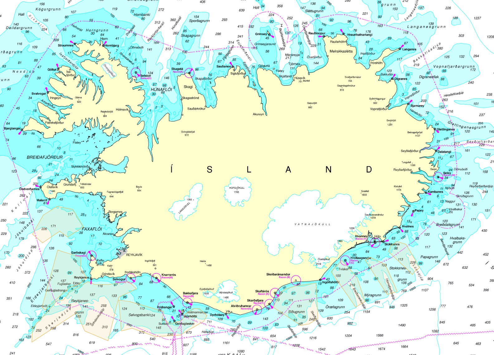
Veiðisvæði
Skilgreind veiðisvæði eru til dæmis humarveiðisvæði, sæbjúgnaveiðisvæði, dragnótaveiðisvæði, o.s.frv. Skilgreind veiðisvæði eru svæði þar sem heimilt er að veiða með tilteknum veiðarfærum, sem annars staðar er bannað að veiða með.
Simple
- Date (Publication)
- 2021-03-26
- Citation identifier
- https://gatt.lmi.is/geonetwork/srv/resources3020e5b5-2f7e-48b7-a23a-be1b65357739
- Status
- On going
- Point of contact
-
Organisation name Individual name Electronic mail address Role Fiskistofa
Point of contact
- Maintenance and update frequency
- As needed
- Keywords
-
-
Veiðisvæði
-
GSL
-
INSPIRE
-
- Use constraints
- Other restrictions
- Other constraints
-
geta þarf heimilda
- Access constraints
- Other restrictions
- Other constraints
- no limitations to public access
- Spatial representation type
- Vector
- Denominator
- 100000
- Language
- English
- Character set
- UTF8
- Topic category
-
- Oceans
))
- Reference system identifier
- http://www.opengis.net/def/crs/EPSG/0/5325
- Distribution format
-
Name Version ESRI Shapefile
10.5.0.6491
- OnLine resource
-
Protocol Linkage Name OGC:WMS
https://gis.is/geoserver/fiskistofa/wms?request=getcapabilities virk_humarveidisvaedi
OGC:WMS
https://gis.is/geoserver/fiskistofa/wms?request=getcapabilities virk_dragnotaveidisvaedi
OGC:WFS-1.0.0-http-get-capabilities
https://gis.is/geoserver/fiskistofa/wfs?request=getcapabilities fiskistofa:virk_dragnotaveidisvaedi
WWW:LINK-1.0-http--link
https://atlas.lmi.is/mapview/?application=haf Hafsjá
OGC:WFS-1.0.0-http-get-capabilities
https://gis.is/geoserver/fiskistofa/wfs?request=getcapabilities fiskistofa:virk_humarveidisvaedi
WWW:LINK-1.0-http--link
https://www.fiskistofa.is/ Heimasíða Fiskistofu
- Hierarchy level
- Dataset
Conformance result
- Date (Publication)
- 2010-12-08
- Explanation
-
Validation has not been performed.
- Pass
- No
- Statement
-
Vinsamlega hafið samband við Fiskistofu vegna nánari upplýsinga
Metadata
- File identifier
- 3020e5b5-2f7e-48b7-a23a-be1b65357739 XML
- Metadata language
- English
- Character set
- UTF8
- Hierarchy level
- Dataset
- Date stamp
- 2022-09-28T12:04:14
- Metadata standard name
-
INSPIRE Metadata Implementing Rules
- Metadata standard version
-
Technical Guidelines based on EN ISO 19115 and EN ISO 19119 (Version 1.2)
- Metadata author
-
Organisation name Individual name Electronic mail address Role Fiskistofa
Point of contact
Overviews
Spatial extent
Provided by
