 INSPIRE Geoportal
Downloaddienst Seen Vorarlberg
Downloaddienst aller Seen Vorarlbergs inkl. Stauseen
Hydrosphäre, Natürliche Lebensräume, Landschaft, Ökosysteme, Wasser
Inspire Annex II, Inspire Anhang II
Simple
Identification info
- Date (Creation)
- 2013-09-11
- Date (Revision)
- 2019-07-08T12:00:00
- Status
- Historical archive
- Point of contact
-
Organisation name Individual name Electronic mail address Role Vorarlberg, Landesamt für Vermessung und Geoinformation, Abteilung Geoinformation
Publisher Vorarlberg, Amt d. LReg., Abteilung VIId - Wasserwirtschaft
Owner
- Keywords
-
-
infoFeatureAccessService
-
Seen
-
-
GEMET - INSPIRE themes, version 1.0
-
-
Gewässernetz
-
-
GEMET - Concepts, version 3.1
-
-
Staubecken
-
Hydrosphäre
-
Binnengewässer
-
See
-
- Access constraints
- Other restrictions
- Use constraints
- Other restrictions
- Other constraints
- Namensnennung 4.0 International (CC BY 4.0)
- Other constraints
-
(c) Land Vorarlberg
- Service Type
- download
N
S
E
W
))
Contains Operations
No information provided.
- Reference system identifier
- EPSG / http://www.opengis.net/def/crs/EPSG/0/31254 / 8.6
- Reference system identifier
- EPSG / http://www.opengis.net/def/crs/EPSG/0/3035 /
- Reference system identifier
- EPSG / http://www.opengis.net/def/crs/EPSG/0/4326 /
- OnLine resource
-
Protocol Linkage Name WWW:DOWNLOAD-1.0-http--download
http://vogis.cnv.at/inspire-download/seen_epsg_3035_uuid_636ce9d4-cd81-4cfc-858a-2c415e68fd09_atom.xml INSPIRE-Atom-Feed
- Hierarchy level
- Service
- Other
-
Service
Domain consistency
Conformance result
- Date (Publication)
- 2009-10-20
- Explanation
-
siehe Referenzdokument (INSPIRE Technical Guidelines)
- Pass
- Yes
Metadata
- File identifier
- 30e3c126-ab7f-42c9-89d8-add8de4b8f01 XML
- Metadata language
- Deutsch
- Hierarchy level
- Service
- Hierarchy level name
-
Dienst
- Date stamp
- 2023-11-24T09:37:39
- Metadata standard name
-
ISO19119
- Metadata standard version
-
2005/PDAM 1
- Metadata author
-
Organisation name Individual name Electronic mail address Role Vorarlberg, Landesamt für Vermessung und Geoinformation, Abteilung Geoinformation
Point of contact
Overviews
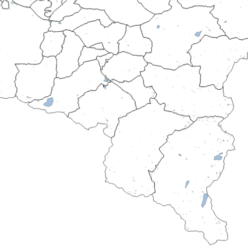
t_seen.png
Spatial extent
N
S
E
W
Provided by

Associated resources
Not available