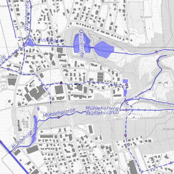
INSPIRE Datensatz Hydrography -Netzwerk
INSIRE Datensatz Hydrography, abgeleitet aus dem Gewässerkataster Liechtenstein
Simple
- Alternate title
-
INSPIRE konformer Datensatz Hydrography
- Date (Publication)
- 2015-10-14
- Citation identifier
- https://metadata.geo.llv.li/5249bc4c-5f58-45d7-aa5d-a274a63bdce9
- Purpose
-
Umsetzung INSPIRE
- Status
- On going
- Point of contact
-
Organisation name Individual name Electronic mail address Role Surveying and Geoinformation Division
Point of contact
- Maintenance and update frequency
- As needed
-
GEMET
-
-
vector
-
-
geocat.ch
-
-
INSPIRE
-
-
GEMET - INSPIRE themes, version 1.0
-
-
Hydrography
-
-
Spatial scope
-
-
National
-
- Access constraints
- Other restrictions
- Other constraints
- no limitations to public access
- Use limitation
-
Zugangs- und Nutzungsbedingungen
- Use constraints
- Other restrictions
- Other constraints
-
gebührenpflichtig
- Spatial representation type
- Vector
- Denominator
- 500
- Language
- Deutsch
- Character set
- UTF8
- Topic category
-
- Inland waters
Extent
- Description
-
Liechtenstein
))

- Reference system identifier
- http://www.opengis.net/def/crs/EPSG/0/4258
- Reference system identifier
- http://www.opengis.net/def/crs/EPSG/0/21782
- Topology level
- Topology 1D
- Geometric object type
- Curve
- Geometric object count
- 1000
- Distribution format
-
Name Version Geographic Markup Language (GML)
ESRI Shapefile (SHP)
- Distributor contact
-
Organisation name Individual name Electronic mail address Role Surveying and Geoinformation Division
Point of contact
- OnLine resource
-
Protocol Linkage Name WWW:LINK
http://www.gdi.llv.li/ Geodatenportal der Liechtensteinische Landesverwaltung
WWW:LINK
http://www.llv.li/#/1627/datenausgabe Homepage ABI, Datenausgabestelle
OGC Web Map Service
https://service.geo.llv.li/mapserver/INSPIRE?service=WMS&request=GetCapabilities HY
ATOM Syndication Format
https://service.geo.llv.li/atom/service.xml INSPIRE Download Service (ATOM)
- Hierarchy level
- Dataset
- Other
-
Alle Ebenen
Conformance result
- Title
-
COMMISSION REGULATION (EU) No 1089/2010 of 23 November 2010 implementing Directive 2007/2/EC of the European Parliament and of the Council as regards interoperability of spatial data sets and services
- Date (Publication)
- 2010-12-08
- Explanation
-
nicht geprüft
- Pass
- No
- Statement
-
Fliessgewässerkataster Liechtenstein
Metadata
- File identifier
- 5249bc4c-5f58-45d7-aa5d-a274a63bdce9 XML
- Metadata language
- Deutsch
- Character set
- UTF8
- Hierarchy level
- Dataset
- Date stamp
- 2024-04-30T05:26:39.244Z
- Metadata standard name
-
GM03 2+
- Metadata author
-
Organisation name Individual name Electronic mail address Role Surveying and Geoinformation Division
Point of contact
- Other language
-
Language Character encoding French UTF8 Italian UTF8 English UTF8 Romansh UTF8 German UTF8
 INSPIRE Geoportal


