 INSPIRE Geoportal
INSPIRE PLU Regionalpläne Thüringen WMS
Dieser Darstellunsgdienst (WMS) enthält die Geltungsbereiche der regionalen Planungsgemeinschaften sowie die Regionalpläne von Thüringen für das INSPIRE Thema geplante Bodennutzung.
Simple
Identification info
- Date (Creation)
- 2021-06-03
- Citation identifier
- https://registry.gdi-de.org/id/de.th.csw/524a4a33-c215-4985-99a1-0c1cd7def6a9
- Presentation form
- Digital map
- Point of contact
-
Organisation name Individual name Electronic mail address Role Thüringer Landesverwaltungsamt
Schütze, Giselher
Giselher.Schuetze@tlvwa.thu Giselher.Schuetze@tlvwa.thueringen.de
Point of contact
- Maintenance and update frequency
- As needed
- Update scope
- Service
- Keywords
-
-
WMS
-
Thüringen
-
Regionalplan
-
Regionalplanung
-
Raumnutzungskarte
-
Raumordnung
-
Raumstruktur
-
Regionalentwicklung
-
Planungsgemeinschaft
-
Bodennutzung
-
inspireidentifiziert
-
opendata
-
GOVE
-
REGI
-
-
VERORDNUNG (EG) Nr. 1205/2008 DER KOMMISSION zur Durchführung der Richtlinie 2007/2/EG des Europäischen Parlaments und des Rates hinsichtlich Metadaten
-
-
humanGeographicViewer
-
Darstellungsdienste
-
-
GEMET - INSPIRE themes, version 1.0
-
-
Bodennutzung
-
- Access constraints
- Other restrictions
- Other constraints
- Es gelten keine Zugriffsbeschränkungen
- Use constraints
- Other restrictions
- Other constraints
-
Nutzungsbedingungen: Für diesen Dienst gelten die Nutzungsbedingungen nach der Datenlizenz Deutschland-Namensnennung, zurzeit in der Version 2.0 ( https://www.govdata.de/dl-de/by-2-0) unter Verwendung des Quellvermerkes "© GDI-Th".
- Other constraints
-
{
"id": "dl-by-de/2.0",
"name": "Datenlizenz Deutschland Namensnennung 2.0",
"url": " https://www.govdata.de/dl-de/by-2-0",
"quelle": "© GDI-Th"
}
- Service Type
- view
- Service Version
-
OGC:WMS 1.3.0
- Description
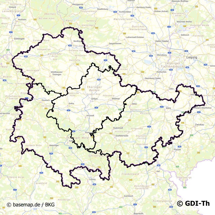
-
Thüringen
))
- Coupling Type
- Tight
- Contains Operations
-
Operation Name Distributed Computing Platforms Connect Point GetCapabilities
Web services https://www.geoproxy.geoportal-th.de/geoproxy/services/giz/regionalplan_i
- Reference system identifier
- http://www.epsg.org / http://www.opengis.net/def/crs/EPSG/0/25832
- Distribution format
-
Name Version gml
gml 3.2
- OnLine resource
-
Protocol Linkage Name OGC:WMS-http-get-map
https://www.geoproxy.geoportal-th.de/geoproxy/services/giz/regionalplan_i
- OnLine resource
-
Protocol Linkage Name WWW:LINK-1.0-http--rss
http://www.geoproxy.geoportal-th.de/inspire-dl/atom/Service/Service_d0cfda98-798a-4bc1-a387-2abc1eb4c2c6.xml
- Hierarchy level
- Service
- Other
-
service
Conformance result
- Date (Publication)
- 2010-12-08
- Presentation form
- Digital document
- Explanation
-
mit GDI-DE Testsuite validiert
- Pass
- Yes
Conformance result
- Date (Publication)
- 2013-04-04
- Citation identifier
- Darstellungsdienst
- Presentation form
- Digital document
- Explanation
-
mit GDI-DE Testsuite validiert
- Pass
- Yes
Conformance result
- Date (Publication)
- 2009-10-20
- Presentation form
- Digital document
- Explanation
-
mit GDI-DE Testsuite validiert
- Pass
- Yes
Conformance result
- Alternate title
-
Verordnung der EU Kommission Richtlinie Nr. 1205/2008, Artikel 4, Teil D
- Date (Publication)
- 2008-12-03
- Presentation form
- Digital document
- Explanation
-
mit GDI-DE Testsuite validiert
- Pass
- Yes
- Statement
-
Datenbestandsüberführung in das INSPIRE Modell Bodennutzung
Metadata
- File identifier
- 524a4a33-c215-4985-99a1-0c1cd7def6a9 XML
- Metadata language
- Deutsch
- Character set
- UTF8
- Hierarchy level
- Service
- Hierarchy level name
-
WMS
- Date stamp
- 2022-11-15T08:40:35
- Metadata standard name
-
ISO 19115/19119
- Metadata author
-
Organisation name Individual name Electronic mail address Role Thüringer Landesverwaltungsamt
Schütze, Giselher
Giselher.Schuetze@tlvwa.thu Giselher.Schuetze@tlvwa.thueringen.de
Point of contact
Overviews
Spatial extent
Provided by
