INSPIRE Geoportal
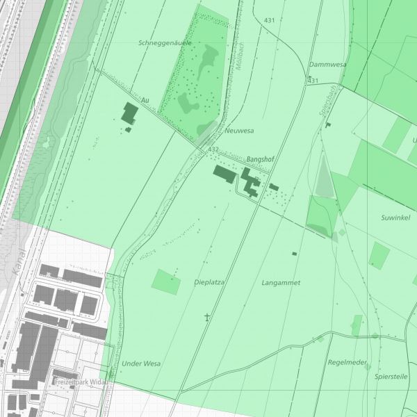
Inventar der Naturvorrangflaechen: Biotope, Landschaftsschutz, Naturdenkmäler
Das Inventar Naturvorrangflächen enthält die schützenswerten Gebiete und Objekte von, sowohl landesweiter, als auch lokaler Bedeutung.
Simple
-
Alternativtitel
-
Naturvorrangflächeninventar
-
Alternativtitel
-
Naturinventar
-
Date (Publication)Data (Pubblicazione)Date (Publication)Datumsangaben (Publikation)
- 2006-03-14
-
IdentificateurIdentificatoreCitation identifierIdentifikator
- https://metadata.geo.llv.li/57bbae45-bb7e-4a6f-b7c0-69e939fcbd76
-
Zweck
-
Das Inventar ist behördenanweisend und muss bei Bewilligungen sowie der Beurteilung von Eingriffen berücksichtigt werden. Grundlage ist das Gesetz zum Schutz der Natur- und Landschaft (LGBL 1996 Nr. 17)
-
EtatStatusStatusBearbeitungsstatus
-
Mise à jour continueIn corsoOn goingKontinuierliche Aktualisierung
- Point of contact
-
Organisation name Individual name Electronic mail address Role Amt für Umwelt (LI)
Office de l'environnement
Amt für Umwelt
Amt für Umwelt
Point de contactPunto di contattoPoint of contactAnsprechpartner
-
Fréquence de mise à jourFrequenza di aggiornamentoMaintenance and update frequencyÜberarbeitungsintervall
-
Non planifiéeNon pianificatoNot plannedNicht geplant
- Resource format
-
Name Version INTERLIS 1 (ITF)
ESRI Shapefile (SHP)
-
GEMET - INSPIRE themes, version 1.0
-
-
Schutzgebiete
Sites protégés
Siti protetti
Protected sites
-
-
GEMET
-
-
Biotop
biotope
biotopo
biotope
-
Landschaftsschutz
protection du paysage
conservazione del paesaggio
landscape conservation
-
Naturdenkmal
monument naturel
monumento naturale
natural monument
-
-
geocat.ch
-
-
INSPIRE
INSPIRE
INSPIRE
INSPIRE
-
-
Spatial scope
-
-
National
Nationales
Nazionali
National
-
-
Anwendungseinschränkungen
-
gebührenpflicht
-
Contraintes d'accèsVincoli di accessoAccess constraintsZugriffseinschränkungen
-
Autres restrictionsAltri vincoliOther restrictionsBenutzerdefinierte Einschränkungen
-
Andere Einschränkungen
-
no limitations to public access
-
Anwendungseinschränkungen
-
Zugangs- und Nutzungsbedingungen
-
Contraintes d'utilisationVincoli di fruibilitàUse constraintsNutzungseinschränkungen
-
Autres restrictionsAltri vincoliOther restrictionsBenutzerdefinierte Einschränkungen
-
Andere Einschränkungen
-
gebührenpflichtig
-
Type de représentation spatialeTipo di rappresentazione spazialeSpatial representation typeRäumliche Darstellungsart
-
VecteurDati vettorialiVectorVektor
-
Distance de résolutionDistanzaDistanceDistanz
- 30 m
-
Langue de la ressourceLingua dei datiLanguageSprache
- Deutsch
-
Encodage des caractèresSet dei caratteri dei datiCharacter setZeichensatz
-
Utf8UTF8UTF8Utf8
-
Catégorie ISOTemaTopic categoryThematik
-
-
Sciences de la terre, géosciencesInformazioni geoscientificheGeoscientific informationGeowissenschaften
-
EnvironnementAmbienteEnvironmentUmwelt
-
Étendue
Estensione
Extent
Ausdehnung
-
BeschreibungDescriptionDescrizioneDescription
-
Liechtenstein
Liechtenstein
Liechtenstein
Liechtenstein
))

-
Nom du système de référenceIdentificatore del sistema di riferimentoReference system identifierIdentifikator des Referenzsystems
-
http://www.opengis.net/def/crs/EPSG/0/21782
-
Nom du système de référenceIdentificatore del sistema di riferimentoReference system identifierIdentifikator des Referenzsystems
-
http://www.opengis.net/def/crs/EPSG/0/4936
-
Niveau topologieLivello di topologiaTopology levelTopologielevel
-
Topologie de réseau complèteGrafo planare completoFull planar graphFlächen
-
Type de géométries des objetsOggetto di tipo geometricoGeometric object typeGeometrietyp
-
PolygoneSuperficieSurfaceFläche
-
Nombre d'objets géométriquesConteggio oggetto geometricoGeometric object countAnzahl
- 300
- Distribution format
-
Name Version INTERLIS 1 (ITF)
AutoCAD DXF (DXF)
ESRI Shapefile (SHP)
Distributeur
Distributore
Distributor
Vertriebsstelle
- Distributor contact
-
Organisation name Individual name Electronic mail address Role Abt. Vermessung und Geoinformation (ATG)
Abt. Vermessung und Geoinformation (ATG)
Abt. Vermessung und Geoinformation (ATG)
Abt. Vermessung und Geoinformation (ATG)
Point de contactPunto di contattoPoint of contactAnsprechpartner
- Fees
-
Bereitstellungsgebühr CHF 60.50 pro 30 Min. sowie Nutzungsgebühr CHF 5.- pro Ebene u. angef. km2
- OnLine resource
-
Protocol Linkage Name WWW:LINK
https://geodaten.llv.li/ WWW:LINK-1.0-http--link
https://service.geo.llv.li/wmsli/service?service=WMS&language=ger&request=GetCapabilities OGC WMS Service der Liechtensteinen Landesverwaltung
-
NiveauLivelloHierarchy levelBezugsebene
-
Jeu de donnéesDatasetDatasetDatenbestand
Résultat de conformité
Conformità
Conformance result
Konformitätsergebnis
-
Date (Publication)Data (Pubblicazione)Date (Publication)Datumsangaben (Publikation)
- 2010-12-08
- Explanation
-
gemäss INSPIRE Bestandteil des Themas Schutzgebiete.
-
Degré de conformitéPassPassBestanden
- No
-
Erläuterung
-
Digitalisierung auf Basis topographischer Karte
-
LangueLinguaLanguageSprache
- Deutsch
-
Inclus dans le jeu de donnéesIncluded with datasetIncluded with datasetIm Datenbestand enthalten
-
Date (Création)Data (Creazione)Date (Creation)Datumsangaben (Erstellung)
- 2001-12-10
Metadata
-
Identifiant de la ficheIdentificatore del file di metadatiFile identifierMetadatensatzidentifikator
- 57bbae45-bb7e-4a6f-b7c0-69e939fcbd76 XML
-
LangueLingua dei metadatiMetadata languageSprache
- Deutsch
-
Jeu de caractèresSet dei caratteri dei metadatiCharacter setZeichensatz
-
Utf8UTF8UTF8Utf8
-
Type de ressourceLivello gerarchicoHierarchy levelHierarchieebene
-
Jeu de donnéesDatasetDatasetDatenbestand
-
Date des métadonnéesData dei metadatiDate stampDatum
- 2023-03-07T06:51:45.195Z
- Metadata standard name
-
GM03 2+
- Metadata author
-
Organisation name Individual name Electronic mail address Role Amt für Umwelt (LI)
Office de l'environnement
Amt für Umwelt
Amt für Umwelt
Point de contactPunto di contattoPoint of contactAnsprechpartner
- Other language
-
Language Character encoding FrançaisFranceseFrenchFranzösischUtf8UTF8UTF8Utf8ItalienItalianoItalianItalienischUtf8UTF8UTF8Utf8AnglaisIngleseEnglishEnglischUtf8UTF8UTF8Utf8AllemandTedescoGermanDeutschUtf8UTF8UTF8Utf8