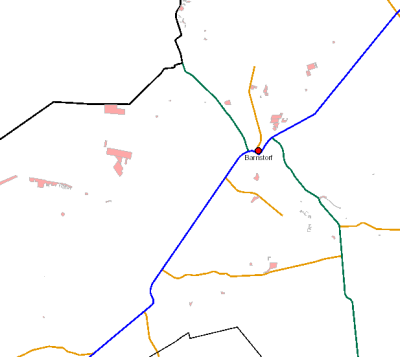
Gesetzlich geschützte Biotope nach § 30 Bundesnaturschutzgesetz Landkreis Diepholz
Flächenkataster mit den gesetzlich geschützten Biotope nach §30 Bundesnaturschutzgesetz im Landkreis Diepholz ab 01.03.1990; Aktualität des derzeitigen Datenbestandes: tagesaktuell. Neben der graphischen Flächendarstellung werden alle sonstigen Informationen in der Datenbank MapAgent - Modul Biotope - geführt. Seit April 2016 erfolgt eine komplette Neukartierung aller Biotope im Landkreis Diepholz durch das Planungsbüro ALAND, Hannover.
Simple
- Date (Creation)
- 1990-03-01
- Citation identifier
- https://registry.gdi-de.org/id/de.ni.lk.dh/74b3c0e6-1827-467a-b113-95066e235a2b
- Point of contact
-
Organisation name Individual name Electronic mail address Role Landkreis Diepholz
Herr Allhausen
Point of contact
- Resource format
-
Name Version sde-featureClass
10.0
-
GEMET - INSPIRE themes, version 1.0
-
-
Biotope
-
§30
-
Fortführung
-
Landkreis Diepholz
-
Lebensräume und Biotope
-
opendata
-
BNatSchG
-
BIOTOP_TF
-
inspireidentifiziert
-
- Access constraints
- Copyright
- Use constraints
- Copyright
- Language
- Deutsch
- Character set
- UTF8
- Topic category
-
- Environment
))
- Geographic identifier
- 032510000000
- Unique resource identifier
- 25832
- Version
-
6.11.2
- Distributor contact
-
Organisation name Individual name Electronic mail address Role Landkreis Diepholz
GIS-Büro
Distributor
- OnLine resource
-
Protocol Linkage Name https://opendata.arcgis.com/datasets/ae8feedd40e54e9caaf4740f1e01bc1c_3.zip
- Hierarchy level
- Dataset
Conformance result
- Date (Publication)
- 2010-12-08
- Explanation
-
VERORDNUNG (EG) Nr. 1089/2010 DER KOMMISSION vom 23. November 2010 zur Durchführung der Richtlinie 2007/2/EG des Europäischen Parlaments und des Rates hinsichtlich der Interoperabilität von Geodatensätzen und -diensten
- Pass
- No
- Statement
-
LK Diepholz, Fachdienst 67 Kreisentwicklung; Bearbeitungsgrundlage: DGK5, AK5, ALKIS
Metadata
- File identifier
- 74b3c0e6-1827-467a-b113-95066e235a2b XML
- Metadata language
- Deutsch
- Character set
- UTF8
- Hierarchy level
- Dataset
- Hierarchy level name
-
Natur und Landschaft
- Date stamp
- 2023-05-15
- Metadata standard name
-
ISO19115
- Metadata standard version
-
2003/Cor.1:2006
- Metadata author
-
Organisation name Individual name Electronic mail address Role Landkreis Diepholz
Herr Allhausen
Point of contact
- Dataset URI
-
urn:sde:WAGIS1::sde:sde.GISADMIN.MAPAGENT; sde.GISADMIN.Biotop_TF
Overviews

Spatial extent
))
Provided by

 INSPIRE Geoportal