 INSPIRE Geoportal
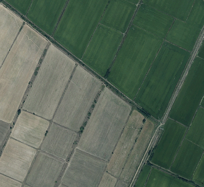
Agricultural areas
Bulgarian agricultural land boundaries which follow land use and are eligible for BISS intervention or other kind of intervention. The areas include arable land, permanent crops, pastures and grasslands.
Граници на земеделски земи, които следват начина на ползване на земята и са подходящи за подпомагане по интервенция за основно подпомагане на доходите за устойчивост (ОПДУ) или друг вид интервенция. Площите включват обработваема земя, трайни насаждения и пасища.
Simple
- Date (Revision)
- 2024-03-29
- Citation identifier
- 7e0961b6-ce18-4029-ba96-a0ed5e5d9903
- Status
- On going
- Point of contact
-
Organisation name Individual name Electronic mail address Role Ministry of Agriculture and Food
Petar Dimitrov
pddimitrov@mzh.gov pddimitrov@mzh.government.bg
Owner
- Maintenance and update frequency
- Annually
- Theme
-
-
Agricultural
-
land
-
eligible
-
- Place
-
-
Agricultural
-
-
Spatial scope
-
-
National
-
-
Continents, countries, sea regions of the world.
-
-
Bulgaria
-
-
GEMET - INSPIRE themes, version 1.0
-
-
Land cover
-
- Use constraints
- Other restrictions
- Other constraints
- No conditions apply to access and use
- Access constraints
- Other restrictions
- Other constraints
- no limitations to public access
- Use limitation
-
No limitations to public access
- Spatial representation type
- Vector
- Denominator
- 5000
- Language
- English
- Language
- bul
- Character set
- UTF8
- Topic category
-
- Boundaries
- Begin date
- 2010-12-01
))
- Supplemental Information
-
You can customize the template to suit your needs.
You can add
and remove fields and fill out default information (e.g. contact
details).
Fields you can not change in the default view may be accessible in the
more
comprehensive (and more complex) advanced view. You can even use the
XML editor
to create custom structures, but they have to be validated by the
system, so
know what you do :-)
- Reference system identifier
- WGS 1984
- Distribution format
-
Name Version shapefile
- OnLine resource
-
Protocol Linkage Name WWW:LINK-1.0-http--link
https://shape.mzh.government.bg/00_BG/2023/Final_KAM_2023/PDP_Eligible_areas/ PDP_Eligible_PZP-kosene_29032024_BG.zip
- Hierarchy level
- Dataset
Conformance result
- Date (Revision)
- 2024-03
- Explanation
-
See the COMMISSION REGULATION (EU) No 1089/2010
- Pass
- Yes
- Statement
-
Dataset has been produced from field checks and orthophotos mapping
Metadata
- File identifier
- 7e0961b6-ce18-4029-ba96-a0ed5e5d9903 XML
- Metadata language
- English
- Character set
- UTF8
- Hierarchy level
- Dataset
- Date stamp
- 2024-05-31T12:08:37.449Z
- Metadata standard name
-
ISO 19115:2003/19139
- Metadata standard version
-
1.0
- Metadata author
-
Organisation name Individual name Electronic mail address Role Ministry of Agriculture and Food
Petar Dimitrov
pddimitrov@mzh.gov pddimitrov@mzh.government.bg
Point of contact
Overviews
Spatial extent
Provided by
