 INSPIRE Geoportal
Feature service of Administrative units - GCCA
Web Feature service (WFS) of Administrative Units
Simple
Identification info
- Date (Revision)
- 2020-06-01T12:00:00+02:00
- Point of contact
-
Organisation name Individual name Electronic mail address Role Geodesy, Cartography and Cadastre Agency
Simeon Stoyanov
Point of contact
- Use constraints
- Other restrictions
- Other constraints
- No conditions apply to access and use
- Access constraints
- Other restrictions
- Other constraints
- no limitations to public access
- Service Type
- download
- Service Version
-
1.1.1
- Fees
-
NONE
N
S
E
W
))
- Coupled Resource
-
Operation Name Scoped name Identifier GetCapabilities
au:AdministrativeUnit c56d8289-c61c-4233-9803-fe30c6ba81de
- Coupling Type
- Tight
- Operates On
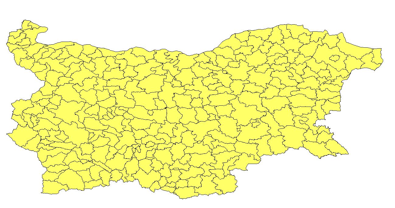
- Unique resource identifier
- WGS 84 / UTM zone 35N (EPSG:32635)
- Distribution format
-
Name Version
- OnLine resource
-
Protocol Linkage Name OGC:WFS
https://inspire.cadastre.bg/arcgis/services/Administrative_Unit/MapServer/WFSServer?REQUEST=GetCapabilities&service=WFS&version=1.1.0 Administrative_Unit:Administrative_unit_2nd_Order
- Hierarchy level
- Service
- Other
-
service
Conformance result
- Date (Publication)
- 2014-12-11
- Explanation
-
Conformant to the INSPIRE SDS specifications.
- Pass
- Yes
Conceptual consistency
- Name of measure
- availability
- Measure identification
- INSPIRE_service_availability
Quantitative result
- Value
- 90
Conceptual consistency
- Name of measure
- performance
- Measure identification
- INSPIRE_service_performance
Quantitative result
- Value
- 0.5
Conceptual consistency
- Name of measure
- capacity
- Measure identification
- INSPIRE_service_capacity
Quantitative result
- Value
- 50
Conformance result
- Date (Publication)
- 2014-12-11
- Explanation
-
Conformant to the cited specifications.
- Pass
- Yes
Metadata
- File identifier
- 82258b97-f6ce-46bd-a00c-bbf6f9cb9005 XML
- Metadata language
- English
- Character set
- UTF8
- Hierarchy level
- Service
- Hierarchy level name
-
Service
- Date stamp
- 2024-04-29T07:55:47.327Z
- Metadata standard name
-
ISO 19115:2003/19139
- Metadata standard version
-
1.0
- Metadata author
-
Organisation name Individual name Electronic mail address Role Geodesy, Cartography and Cadastre Agency
Simeon Stoyanov
Point of contact
Overviews
Spatial extent
N
S
E
W
Provided by

Associated resources
Not available