 INSPIRE Geoportal
Downloaddienst Flächenwidmungsplan Vorarlberg - Flächen
Downloaddienst Flächenwidmungsplan Vorarlberg - Flächen
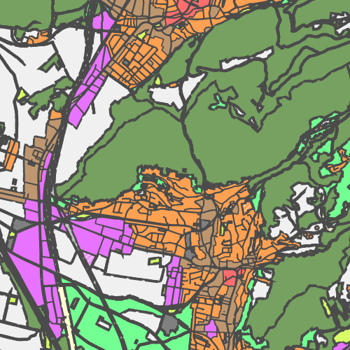
Umfasst alle Grundstücke Vorarlbergs und deren Widmungen und Ersichtlichmachungen.
Ist für INSPIRE gemeldet.
Simple
Identification info
- Date (Creation)
- 2010-01-19
- Date (Revision)
- 2019-11-15T12:00:00
- Point of contact
-
Organisation name Individual name Electronic mail address Role Vorarlberg, Landesamt für Vermessung und Geoinformation, Abteilung Geoinformation
Publisher Vorarlberg, Amt d. LReg., Abteilung VIIa - Raumplanung
Owner
- Keywords
-
-
infoFeatureAccessService
-
Flächenwidmung - Flächen
-
-
GEMET - INSPIRE themes, version 1.0
-
-
Bodennutzung
-
-
GEMET - Concepts, version 3.1
-
-
Flächennutzungsplan
-
Flächennutzung
-
Flächennutzungsplanung
-
Flächenwidmung
-
- Access constraints
- Other restrictions
- Use constraints
- Other restrictions
- Other constraints
- Namensnennung 4.0 International (CC BY 4.0)
- Other constraints
-
(c) Land Vorarlberg
- Service Type
- download
))
- Coupled Resource
-
Operation Name Scoped name Identifier GetCapabilities
undefined 85bd045b-8857-4388-bc07-0fccd5a29eb1
Contains Operations
- Operates On
- Reference system identifier
- EPSG / http://www.opengis.net/def/crs/EPSG/0/31254 / 8.6
- Reference system identifier
- EPSG / http://www.opengis.net/def/crs/EPSG/0/3035 /
- Reference system identifier
- EPSG / http://www.opengis.net/def/crs/EPSG/0/4326 /
- OnLine resource
-
Protocol Linkage Name WWW:DOWNLOAD-1.0-http--download
http://vogis.cnv.at/inspire-download/fwp_flaeche_epsg_3035_uuid_85bd045b-8857-4388-bc07-0fccd5a29eb1_atom.xml INSPIRE-Atom-Feed
- Hierarchy level
- Service
- Other
-
Service
Domain consistency
Conformance result
- Date (Publication)
- 2009-10-20
- Explanation
-
siehe Referenzdokument (INSPIRE Technical Guidelines)
- Pass
- Yes
Metadata
- File identifier
- 9370b63f-223e-4cf2-b7d3-b17d4f2de653 XML
- Metadata language
- Deutsch
- Hierarchy level
- Service
- Hierarchy level name
-
Dienst
- Date stamp
- 2023-11-24T09:10:56
- Metadata standard name
-
ISO19119
- Metadata standard version
-
2005/PDAM 1
- Metadata author
-
Organisation name Individual name Electronic mail address Role Vorarlberg, Landesamt für Vermessung und Geoinformation, Abteilung Geoinformation
Point of contact
Overviews
Spatial extent
Provided by
