 INSPIRE Geoportal
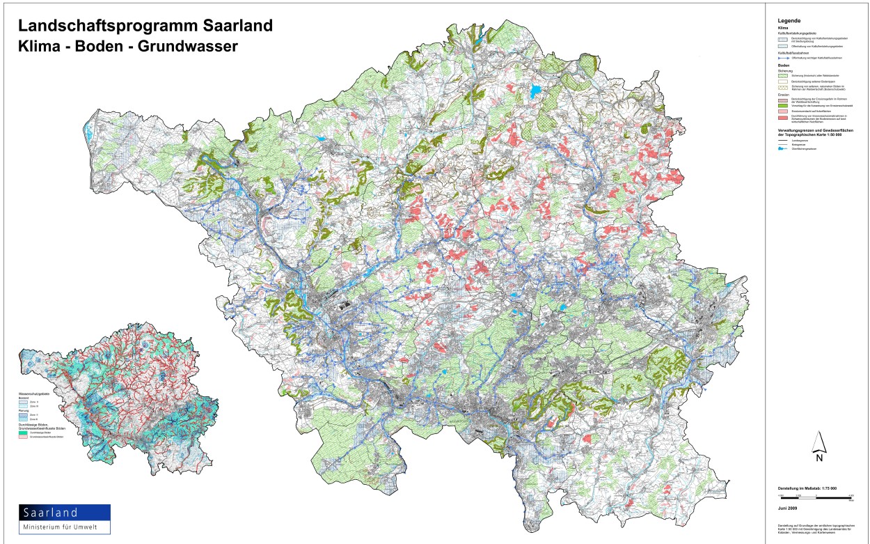
LAPRO2009 - Sicherung ( historisch ) alter Waldstandorte
Als alte Waldstandorte werden im Landschaftsprogramm Saarland Flächen bezeichnet, die über mehrere Jahrhunderte (soweit Kartenaufzeichnungen vorliegen) als Waldflächen Bestand hatten. In diesen Bereichen ist davon auszugehen, dass sich die Bodenentwicklung unter dem Waldschirm (natürlich unter Einfluss der unterschiedlichen Waldnutzungsphasen mit Rottwald, Nieder- und Mittelwald sowie Alterklassenwald mit Nadelholzanbau) noch in der für Mitteleuropa naturnächsten Weise vollzogen hat. Eine naturnahe Bestockung muss nicht vorliegen. s. Landschaftsprogramm Saarland, Kapitel 9.6.1. (Stand Juni 2009)
Simple
- Date (Creation)
- 2009-06-15
- Date (Publication)
- 2009-06-15
- Citation identifier
- https://registry.gdi-de.org/id/de.sl/add4ed0c-2abe-4c50-8ce5-9844ed013de3
- Point of contact
-
Organisation name Individual name Electronic mail address Role Ministerium für Umwelt, Klima, Mobilität, Agrar und Verbraucherschutz
Referat D/3 Landschaft und Fischerei
poststelle@umwelt.saa poststelle@umwelt.saarland.de
Point of contact Ministerium für Umwelt, Klima, Mobilität, Agrar und Verbraucherschutz
Postanschrift Ministerium für Umwelt, Klima, Mobilität, Agrar und Verbraucherschutz
poststelle@umwelt.saa poststelle@umwelt.saarland.de
Resource provider
- Resource format
-
Name Version filegdb-featureClass
10.0
-
GEMET - INSPIRE themes, version 1.0
-
-
Bodennutzung
-
-
GEMET - Concepts, version 2.4
-
-
Planungsunterlagen/Kataster
-
- Keywords
-
-
geoportal
-
inspireidentifiziert
-
LAPRO_Klima
-
-
mapbender.2.inspireWholeArea
-
-
2500
-
-
mapbender.2.inspireActualCoverage
-
-
2500
-
- Place
-
-
Saarland
-
-
Spatial scope
-
-
Regional
-
Resource constraints
Resource constraints
Resource constraints
Resource constraints
Resource constraints
Resource constraints
Resource constraints
Resource constraints
Resource constraints
- Classification
- Unclassified
- Use limitation
-
Maßstabsbeschränkung, im Geoportal. Es gelten keine Bedingungen.
- Access constraints
- Other restrictions
- Other constraints
- Es gelten keine Zugriffsbeschränkungen
- Use constraints
- Other restrictions
- Other constraints
- Es gelten keine Bedingungen
- Other constraints
-
Die Daten unterliegen dem Urheberrecht. Jede Vervielfältigung bedarf einer Genehmigung. Die Nutzung für kommerzielle Zwecke ist nicht gestattet. Ein Quellenvermerk ist stets und bei jedweder Art der Nutzung erforderlich. Das LVGL übernimmt keine Haftung für die Vollständigkeit und die Fehlerfreiheit der Geofachdaten. Insbesondere übernimmt das LVGL keine Gewähr dafür, dass die Geofachdaten den Anforderungen und Zwecken des Nutzers genügen. Die Verantwortung für die richtige Auswahl und die Folgen der Benutzung der Geofachdaten sowie der damit beabsichtigten oder erzielten Ergebnisse trägt der Nutzer. Des Weiteren verweisen wir auf die geltenden Nutzungsbedingungen für Geofachdaten des Landesamtes für Vermessung, Geoinformation und Landentwicklung (LVGL). https://www.shop.lvgl.saarland.de/cloud/index.php/s/Nutzungsbedingungen_Geofachdaten#pdfviewer
- Spatial representation type
- Vector
- Denominator
- 50000
- Language
- Deutsch
- Character set
- UTF8
- Topic category
-
- Planning cadastre
))
- Geographic identifier
- Saarland
- Geographic identifier
- 100000000000
- Unique resource identifier
- EPSG:31466
- Distribution format
-
Name Version Esri Shape
1.0
- Distributor contact
-
Organisation name Individual name Electronic mail address Role Ministerium für Umwelt, Klima, Mobilität, Agrar und Verbraucherschutz
Referat E/6 Geodatenzentrum
Geodatenzentrum@umwelt.saa Geodatenzentrum@umwelt.saarland.de
Distributor
- OnLine resource
-
Protocol Linkage Name https://geoportal.saarland.de/layer/view/34702
- Hierarchy level
- Dataset
Conformance result
- Date (Publication)
- 2010-12-08
- Explanation
-
Die Daten wurden mit dem EU-Validator überprüft.
- Pass
- No
- Statement
-
Landschaftsprogramm Saarland Juni 2009
Metadata
- File identifier
- add4ed0c-2abe-4c50-8ce5-9844ed013de3 XML
- Metadata language
- Deutsch
- Character set
- UTF8
- Hierarchy level
- Dataset
- Date stamp
- 2023-06-09
- Metadata standard name
-
ISO19115
- Metadata standard version
-
2003/Cor.1:2006
- Metadata author
-
Organisation name Individual name Electronic mail address Role Ministerium für Umwelt, Klima, Mobilität, Agrar und Verbraucherschutz
Referat E/6 Geodatenzentrum
Geodatenzentrum@umwelt.saa Geodatenzentrum@umwelt.saarland.de
Point of contact
- Dataset URI
-
M:\suis\GDZ_GDB.gdb?ResourceName=alte_wald_standorte
Overviews
Spatial extent
Provided by
