 INSPIRE Geoportal
Web-Map-Service DLM
Im Zuge des Aufbaus der Geodateninfrastruktur des Freistaates Thüringen (GDI-Th) werden internen und externen Anwendern ausgewählte Geobasisdaten zur freien Nutzung bereitgestellt. Aus den Geobasisdaten der zentralen Geodatenhaltungs- und Geodatenbereitstellungskomponente Geoproxy werden Datenbestände von besonderem öffentlichem Interesse als öffentliche Daten jedermann ohne Beschränkung des Zugangs und kostenfrei über den Geoclient als Viewing- Dienst zur Verfügung gestellt. Hierbei handelt es sich um Daten des Digitalen Geländemodells.
Simple
Identification info
- Alternate title
-
Digitale Landschaftsmodelle
- Date (Publication)
- 2012-10-01
- Citation identifier
- https://registry.gdi-de.org/id/de.th.csw/bd928485-0b0b-49f2-906a-01a5b6c4c9ee
- Presentation form
- Digital map
- Point of contact
-
Organisation name Individual name Electronic mail address Role Thüringer Landesamt für Bodenmanagement und Geoinformation
Kompetenzzentrum Geodateninfrastruktur Thüringen (GDI-Th)
kompetenzzentrum.gdi-th@tlbg.thueringen.de th@tlbg.thu kompetenzzentrum.gdi-th@tlbg.thueringen.de
Point of contact
- Maintenance and update frequency
- Quarterly
- Keywords
-
-
Geoproxy
-
WMS
-
Landschaftsmodell
-
Oberfläche
-
Landschaft
-
AdVMIS
-
GOVE
-
opendata
-
inspireidentifiziert
-
-
VERORDNUNG (EG) Nr. 1205/2008 DER KOMMISSION zur Durchführung der Richtlinie 2007/2/EG des Europäischen Parlaments und des Rates hinsichtlich Metadaten
-
-
humanGeographicViewer
-
Darstellungsdienste
-
-
Spatial scope
-
-
Regional
-
- Access constraints
- Other restrictions
- Other constraints
- Es gelten keine Zugriffsbeschränkungen
- Use constraints
- Other restrictions
- Other constraints
-
Es gelten die Lizenzbedingungen „Datenlizenz Deutschland - Namensnennung - Version 2.0“ bzw. „dl-de/by-2-0” ( https://www.govdata.de/dl-de/by-2-0) mit den dort geforderten Angaben zum Quellenvermerk. Als Rechteinhaber und Bereitsteller ist die Datenhaltende Stelle, sowie das Jahr des Datenbezugs in Klammern anzugeben. Beispiel für Quellenvermerk: GDI-Th (2021) Datenlizenz Deutschland - Namensnennung - Version 2.0 (www.govdata.de/dl-de/by-2-0).
- Other constraints
-
{
"id": "dl-by-de/2.0",
"name": "Datenlizenz Deutschland Namensnennung 2.0",
"url": " https://www.govdata.de/dl-de/by-2-0",
"quelle": "© GDI-Th"
}
- Service Type
- view
- Service Version
-
OGC:WMS 1.3.0
- Description
-
Thüringen
))
- Coupled Resource
-
Operation Name Scoped name Identifier GetCapabilities
a4228080-1677-4703-9528-35c45da9a46c
GetCapabilities
b3420cc8-4be8-470b-b56b-2f3c51cb24f4
GetCapabilities
b4570032-eeaf-4bdd-82ab-f5e23260eb91
GetCapabilities
f6a0da23-f563-4218-9c82-0fa143e2837b
GetCapabilities
sie01_f 2f174200-61a2-47ef-bd2c-5f928a9e6e7e
GetCapabilities
31b45eae-da8f-4a35-95a0-03667a2c73ef
- Coupling Type
- Tight
- Contains Operations
-
Operation Name Distributed Computing Platforms Connect Point GetCapabilities
Web services https://www.geoproxy.geoportal-th.de/geoproxy/services/DLM?REQUEST=GetCapabilities&version=1.1.1&service=WMS https://www.geoproxy.geoportal-th.de/geoproxy/services/DLM? GetCapabilities
Web services https://www.geoproxy.geoportal-th.de/geoproxy/services/DLM?
- Reference system identifier
- EPSG:25832
- Distribution format
-
Name Version WMS
1.1.1, 1.3.0
- Distributor contact
-
Organisation name Individual name Electronic mail address Role Thüringer Landesamt für Bodenmanagement und Geoinformation
Kompetenzzentrum Geodateninfrastruktur Thüringen (GDI-Th)
kompetenzzentrum.gdi-th@tlbg.thueringen.de th@tlbg.thu kompetenzzentrum.gdi-th@tlbg.thueringen.de
Point of contact
- OnLine resource
-
Protocol Linkage Name OGC:WMS-http-get-map
https://www.geoproxy.geoportal-th.de/geoproxy/services/DLM?REQUEST=GetCapabilities&service=WMS WMS TH ATKIS Basis-DLM
WWW:LINK-1.0-http--link
https://tlbg.thueringen.de/fileadmin/TLBG/Vertrieb/agnb/agnb-tlbg.pdf AGNB
- Hierarchy level
- Service
- Other
-
service
Conformance result
- Alternate title
-
Digitale Landschaftsmodelle
- Date (Creation)
- 2004-01-01
- Citation identifier
- https://registry.gdi-de.org/id/de.th.csw/5e4d7bcc-4a54-4373-b593-c413fc557279
- Presentation form
- Digital model
- Explanation
-
Thüringen komplett vorhanden
- Pass
- Yes
Conformance result
- Date (Publication)
- 2009-10-20
- Presentation form
- Digital document
- Explanation
-
Getestet mit der GDI - DE Testsuite
- Pass
- No
Conformance result
- Date (Publication)
- 2013-04-04
- Citation identifier
- Darstellungsdienst
- Presentation form
- Digital document
- Explanation
-
für das gesamte Gebiet Thüringen vorhanden
- Pass
- Yes
- Statement
-
WMS- Geoproxy- DLM
Metadata
- File identifier
- bd928485-0b0b-49f2-906a-01a5b6c4c9ee XML
- Metadata language
- Deutsch
- Character set
- UTF8
- Hierarchy level
- Service
- Hierarchy level name
-
Viewservice
- Date stamp
- 2023-03-22T14:15:32
- Metadata standard name
-
ISO 19115/19119
- Metadata author
-
Organisation name Individual name Electronic mail address Role Thüringer Landesamt für Bodenmanagement und Geoinformation
Hackel, Stefanie
stefanie.hackel@tlbg.thu stefanie.hackel@tlbg.thueringen.de
Point of contact
Overviews
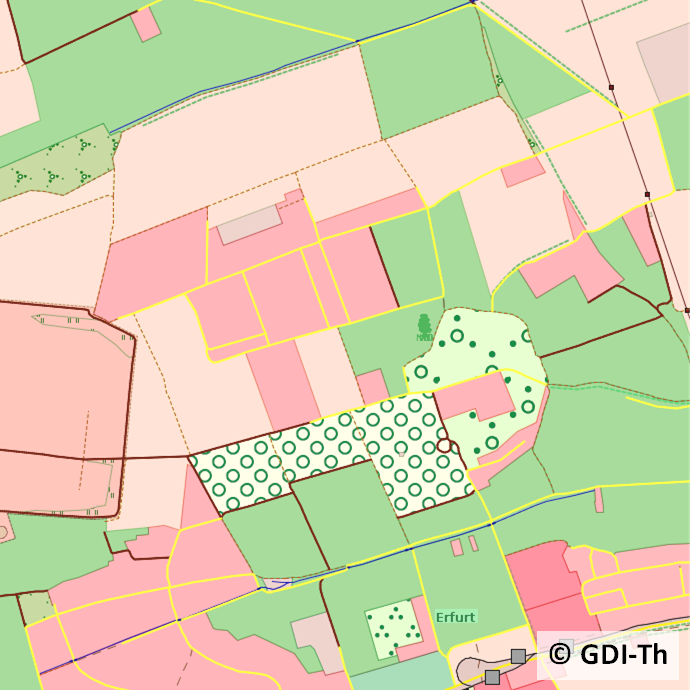
Spatial extent
Provided by
