 INSPIRE Geoportal
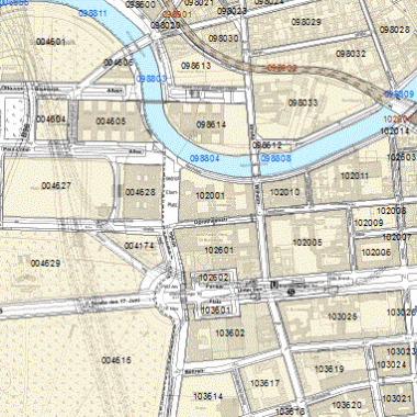
Statistische Blöcke des RBS
Statistische Blöcke des RBS als kleinste flächige Unterteilung des Berliner Stadtgebiets.
Simple
- Date (Creation)
- 2016-12-31
- Date (Publication)
- 2023-11-13
- Date (Revision)
- 2023-11-06
- Citation identifier
- https://registry.gdi-de.org/id/de.be.csw/807c6521-2a47-36eb-83b5-ccb0bbfb3183
- Presentation form
- Digital table
- Point of contact
-
Organisation name Individual name Electronic mail address Role Amt für Statistik Berlin-Brandenburg
Geoservice@statistik-bbb.de
Point of contact
- Maintenance and update frequency
- Biannually
-
GEMET - INSPIRE themes, version 1.0
-
-
Statistische Einheiten
-
- Theme
-
-
inspireidentifiziert
-
open data
-
opendata
-
Geodaten
-
Berlin
-
RBS
-
Block
-
Blocknummer
-
Blocktyp
-
BLKNR
-
BLKTYP
-
Amt für Statistik Berlin Brandenburg
-
Regionales Bezugssystem Berlin
-
Geoservice
-
AfS
-
- Access constraints
- Other restrictions
- Other constraints
- Es gelten keine Zugriffsbeschränkungen
- Use constraints
- Other restrictions
- Other constraints
-
Der Datenbestand wird unter der Lizenz CC-BY-3.0-Namensnennung veröffentlicht (vgl. https://creativecommons.org/licenses/by/3.0/de/). Als Urheber ist dabei zu nennen: Amt für Statistik Berlin-Brandenburg 2023
- Other constraints
-
{"id": "CC BY 3.0 DE" , "name": "Creative Commons - Namensnennung 3.0 Deutschland", "url": " https://creativecommons.org/licenses/by/3.0/de/", "quelle": "Amt für Statistik Berlin-Brandenburg 2023" }
- Spatial representation type
- Vector
- Language
- Deutsch
- Character set
- UTF8
- Topic category
-
- Boundaries
))
- Extent type code
- Yes
- Geographic identifier
- 110000000000
- Reference system identifier
- http://www.opengis.net/def/crs/EPSG/0/25833
- Distribution format
-
Name Version text/html
4.01
- OnLine resource
-
Protocol Linkage Name https://fbinter.stadt-berlin.de/fb?loginkey=showMap&mapId=k_rbs_bloecke@senstadt
- Hierarchy level
- Dataset
Conformance result
- Date (Publication)
- 2010-12-08
- Explanation
-
see referenced specification
- Pass
- No
- Statement
-
Blöcke des Regionalen Bezugssystems (Amt für Statistik Berlin-Brandenburg)
Metadata
- File identifier
- c6182565-2b04-3265-81fa-64f22eaac734 XML
- Metadata language
- Deutsch
- Character set
- UTF8
- Hierarchy level
- Dataset
- Date stamp
- 2023-11-13T13:54:04
- Metadata standard name
-
ISO 19115/19119 – BE
- Metadata standard version
-
1.0.0
- Metadata author
-
Organisation name Individual name Electronic mail address Role Senatsverwaltung für Stadtentwicklung, Bauen und Wohnen Berlin
fisbroker@senstadt.ber fisbroker@senstadt.berlin.de
Point of contact
Overviews
Spatial extent
Provided by
