INSPIRE Geoportal
INSPIRE Protected Sites
INSPIRE Protected Sites
INSPIRE Konformer Datensatz der Protected Sites
INSPIRE compliant dataset Protected Sites
Simple
-
AlternativtitelAlternate title
-
INSPIRE Datenatz Schutzgebiete
INSPIRE dataset Protected Sites
-
Date (Création)Data (Creazione)Date (Creation)Datumsangaben (Erstellung)
- 2013-11-13
-
IdentificateurIdentificatoreCitation identifierIdentifikator
- https://metadata.geo.llv.li/c851eb68-629c-4f96-a177-8c3e45b3b62c
-
ZweckPurpose
-
Umsetzung INSPIRE
INSPIRE Implementation
-
EtatStatusStatusBearbeitungsstatus
-
Mise à jour continueIn corsoOn goingKontinuierliche Aktualisierung
- Point of contact
-
Organisation name Individual name Electronic mail address Role Abt. Vermessung und Geoinformation (ATG)
Abt. Vermessung und Geoinformation (ATG)
Abt. Vermessung und Geoinformation (ATG)
Abt. Vermessung und Geoinformation (ATG)
Point de contactPunto di contattoPoint of contactAnsprechpartner
-
Fréquence de mise à jourFrequenza di aggiornamentoMaintenance and update frequencyÜberarbeitungsintervall
-
Lorsque nécessaireSecondo necessitàAs neededBei Bedarf
-
GEMET
-
-
Vektor
vecteur
vettore
vector
-
-
geocat.ch
-
-
INSPIRE
INSPIRE
INSPIRE
INSPIRE
-
-
GEMET - INSPIRE themes, version 1.0
-
-
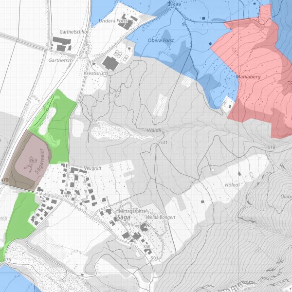
Schutzgebiete
Sites protégés
Siti protetti
Protected sites
-
-
Spatial scope
-
-
National
Nationales
Nazionali
National
-
-
Contraintes d'accèsVincoli di accessoAccess constraintsZugriffseinschränkungen
-
Autres restrictionsAltri vincoliOther restrictionsBenutzerdefinierte Einschränkungen
-
Andere Einschränkungen
-
no limitations to public access
-
Anwendungseinschränkungen
-
Zugangs- und Nutzungsbedingungen
-
Contraintes d'utilisationVincoli di fruibilitàUse constraintsNutzungseinschränkungen
-
Autres restrictionsAltri vincoliOther restrictionsBenutzerdefinierte Einschränkungen
-
Andere EinschränkungenOther constraints
-
gebührenpflichtig
charges apply
-
Type de représentation spatialeTipo di rappresentazione spazialeSpatial representation typeRäumliche Darstellungsart
-
VecteurDati vettorialiVectorVektor
-
Dénominateur de l'échelleDenominatoreDenominatorMassstabszahl
- 500
-
Langue de la ressourceLingua dei datiLanguageSprache
- Deutsch
-
Encodage des caractèresSet dei caratteri dei datiCharacter setZeichensatz
-
Utf8UTF8UTF8Utf8
-
Catégorie ISOTemaTopic categoryThematik
-
-
EnvironnementAmbienteEnvironmentUmwelt
-
Étendue
Estensione
Extent
Ausdehnung
-
BeschreibungDescriptionDescrizioneDescription
-
Liechtenstein
Liechtenstein
Liechtenstein
Liechtenstein
))

-
Nom du système de référenceIdentificatore del sistema di riferimentoReference system identifierIdentifikator des Referenzsystems
-
http://www.opengis.net/def/crs/EPSG/0/21782http://www.opengis.net/def/crs/EPSG/0/21782http://www.opengis.net/def/crs/EPSG/0/21782http://www.opengis.net/def/crs/EPSG/0/21782http://www.opengis.net/def/crs/EPSG/0/21782
-
Nom du système de référenceIdentificatore del sistema di riferimentoReference system identifierIdentifikator des Referenzsystems
-
http://www.opengis.net/def/crs/EPSG/0/4258http://www.opengis.net/def/crs/EPSG/0/4258http://www.opengis.net/def/crs/EPSG/0/4258http://www.opengis.net/def/crs/EPSG/0/4258http://www.opengis.net/def/crs/EPSG/0/4258
-
Niveau topologieLivello di topologiaTopology levelTopologielevel
-
Topologie de réseau complèteGrafo planare completoFull planar graphFlächen
-
Type de géométries des objetsOggetto di tipo geometricoGeometric object typeGeometrietyp
-
PolygoneSuperficieSurfaceFläche
-
Nombre d'objets géométriquesConteggio oggetto geometricoGeometric object countAnzahl
- 100
- Distribution format
-
Name Version Geographic Markup Language (GML)
ESRI Shapefile (SHP)
- Distributor contact
-
Organisation name Individual name Electronic mail address Role Abt. Vermessung und Geoinformation (ATG)
Abt. Vermessung und Geoinformation (ATG)
Abt. Vermessung und Geoinformation (ATG)
Abt. Vermessung und Geoinformation (ATG)
Point de contactPunto di contattoPoint of contactAnsprechpartner
- OnLine resource
-
Protocol Linkage Name WWW:LINK
https://geodaten.llv.li Geodatenportal der Liechtensteinische Landesverwaltung
Geoportal of the National Administration Liechtensteinisch
WWW:LINK
https://www.llv.li/de/landesverwaltung/amt-fuer-tiefbau-und-geoinformation/geodateninfrastruktur/datenausgabe Homepage ATG, Datenausgabestelle
webside ABI, data distribution
OGC Web Map Service
https://service.geo.llv.li/mapserver/INSPIRE?service=WMS&request=GetCapabilities PS
PS
PS
PS
ATOM Syndication Format
https://service.geo.llv.li/atom/service.xml INSPIRE Download Service (ATOM)
INSPIRE Download Service (ATOM)
INSPIRE Download Service (ATOM)
INSPIRE Download Service (ATOM)
-
NiveauLivelloHierarchy levelBezugsebene
-
Jeu de donnéesDatasetDatasetDatenbestand
- Other
-
Alle Ebenen
Résultat de conformité
Conformità
Conformance result
Konformitätsergebnis
-
Date (Publication)Data (Pubblicazione)Date (Publication)Datumsangaben (Publikation)
- 2010-12-08
- Explanation
-
nicht geprüft
-
Degré de conformitéPassPassBestanden
- No
-
ErläuterungStatement
-
Die Daten wurden aus dem Fachdatenmodellen auf die INSPIRE Struktur übersetzt
data were tranformed from original national standards to the INSPIRE structure
Metadata
-
Identifiant de la ficheIdentificatore del file di metadatiFile identifierMetadatensatzidentifikator
- c851eb68-629c-4f96-a177-8c3e45b3b62c XML
-
LangueLingua dei metadatiMetadata languageSprache
- Deutsch
-
Jeu de caractèresSet dei caratteri dei metadatiCharacter setZeichensatz
-
Utf8UTF8UTF8Utf8
-
Type de ressourceLivello gerarchicoHierarchy levelHierarchieebene
-
Jeu de donnéesDatasetDatasetDatenbestand
-
Date des métadonnéesData dei metadatiDate stampDatum
- 2024-04-30T05:40:16.457Z
- Metadata standard name
-
GM03 2+
- Metadata author
-
Organisation name Individual name Electronic mail address Role Abt. Vermessung und Geoinformation (ATG)
Abt. Vermessung und Geoinformation (ATG)
Abt. Vermessung und Geoinformation (ATG)
Abt. Vermessung und Geoinformation (ATG)
Point de contactPunto di contattoPoint of contactAnsprechpartner
- Other language
-
Language Character encoding FrançaisFranceseFrenchFranzösischUtf8UTF8UTF8Utf8ItalienItalianoItalianItalienischUtf8UTF8UTF8Utf8AnglaisIngleseEnglishEnglischUtf8UTF8UTF8Utf8AllemandTedescoGermanDeutschUtf8UTF8UTF8Utf8