 INSPIRE Geoportal
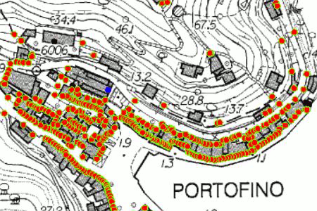
COMUNE DI PORTOFINO - CIVICI E TOPONOMASTICA
I dati sono di proprietà del comune di Portofino e sono stati acquisiti nell'ambito del progetto del Polo provinciale della Città Metropolitana di Genova e del CST Liguria. Il modello dei dati è conforme agli standard nazionali come da D.M. del 10/11/2011 - Copertura:intero territorio comunale - Origine: rilievi GPS - Anno: 2009
Simple
- Date (Revision)
- 2009-01-01
- Citation identifier
- https://geoportal.regione.liguria.it / c_g913:D.1891
- Cited responsible party
-
Organisation name Individual name Electronic mail address Role Comune di Portofino
gentoso@comune-portofino.genova.it
Owner Comune di Portofino - TECNICO - Ediizia Privata ed Urbanistica
gentoso@comune-portofino.genova.it
Author
- Presentation form
- Digital map
- Issue identification
-
c_g913:D.1891
- Point of contact
-
Organisation name Individual name Electronic mail address Role Regione Liguria - Sportello cartografico
infoter@regione.lig infoter@regione.liguria.it
Point of contact
-
GEMET - INSPIRE themes, version 1.0
- Keywords
-
-
CARTE DI BASE
-
POSIZIONE
-
open data
-
EU
-
- Access constraints
- Other restrictions
- Other constraints
- Nessuna limitazione al pubblico accesso
- Use constraints
- Other restrictions
- Other constraints
- Creative Commons Attribuzione 4.0 Internazionale (CC BY 4.0)
- Classification
- Unclassified
- Spatial representation type
- Vector
- Denominator
- 5000
- Language
- Italiano
- Character set
- UTF8
- Topic category
-
- Location
))
- Supplemental Information
-
Vedi documentazione all'indirizzo: https://srvcarto.regione.liguria.it/repertoriocartografico/documentazione/CIVICI_TOPONOMASTICA.pdf
- Unique resource identifier
- Monte-Mario-Italy1
- Distribution format
-
Name Version GeoPackage
n.d.
Shapefile
n.d.
- Distributor contact
-
Organisation name Individual name Electronic mail address Role Regione Liguria - Sportello cartografico
infoter@regione.lig infoter@regione.liguria.it
Distributor
- OnLine resource
-
Protocol Linkage Name Web Map Service (WMS) https://geoservizi.regione.liguria.it/geoserver/M1891/wms?version=1.3.0&request=getcapabilities
- OnLine resource
-
Protocol Linkage Name WWW:DOWNLOAD-1.0-http--download https://srvcarto.regione.liguria.it/geoservices/apps/viewer/pages/apps/download/index.html?id=1891
- OnLine resource
-
Protocol Linkage Name Web Feature Service (WFS) https://geoservizi.regione.liguria.it/geoserver/M1891/wfs?version=2.0.0&request=getcapabilities
- Hierarchy level
- Dataset
Quantitative result
- Value
- 1
Conformance result
- Date (Publication)
- 2010-12-08
- Explanation
-
Fare riferimento alle specifiche indicate
- Pass
- No
- Statement
-
Rilievi GPS
Metadata
- File identifier
- c_g913:D.1891 XML
- Metadata language
- Italiano
- Character set
- UTF8
- Hierarchy level
- Dataset
- Date stamp
- 2022-05-19
- Metadata standard name
-
Linee guida RNDT
- Metadata standard version
-
2.0
- Metadata author
-
Organisation name Individual name Electronic mail address Role Regione Liguria - Sportello Cartografico
infoter@regione.lig infoter@regione.liguria.it
Point of contact
Overviews
Spatial extent
Provided by
