 INSPIRE Geoportal
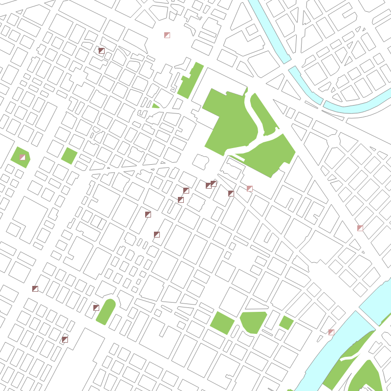
Luoghi - Geo-servizio WMS
Il Web Map Service permette di consultare le informazioni relative ai Luoghi storici e particolari presenti sul territorio della Città di Torino.
Simple
Identification info
- Date (Revision)
- 2012-06-13
- Date (Creation)
- 2012-06-13
- Citation identifier
- c_l219:29a93bb9-5980-406b-93bb-93ac543daf22
- Cited responsible party
-
Organisation name Individual name Electronic mail address Role Comune di Torino
geoportale@comune.tor geoportale@comune.torino.it
Owner
- Point of contact
-
Organisation name Individual name Electronic mail address Role Comune di Torino
geoportale@comune.tor geoportale@comune.torino.it
Point of contact
- Keywords
-
-
RNDT
-
- Keywords
-
-
EU
-
- Keywords
-
-
luoghi storici e particolari
-
luoghi
-
culturale
-
artistico
-
storico
-
patrimonio
-
-
ISO - 19119 geographic services taxonomy
- Access constraints
- Other restrictions
- Other constraints
- no limitations to public access
- Use constraints
- Other restrictions
- Other constraints
- Condizioni sconosciute
- Service Type
- view
))
- Coupling Type
- Mixed
- Contains Operations
-
Operation Name Distributed Computing Platforms Connect Point GetMap
Web services http://geomap.reteunitaria.piemonte.it/ws/siccms/coto-01/wmsg01/wms_sicc100_luoghi?
- Operates On
- Distribution format
-
Name Version OGC:WMS
1.3
- OnLine resource
-
Protocol Linkage Name Web Map Service (WMS) https://geomap.reteunitaria.piemonte.it/ws/siccms/coto-01/wmsg01/wms_sicc100_luoghi?service=WMS&version=1.1.1&request=getCapabilities
- Hierarchy level
- Service
- Other
-
Servizio
Conformance result
- Date (Publication)
- 2009-10-19
- Explanation
-
non conforme
- Pass
- No
Conformance result
- Date (Publication)
- 2010-12-08
- Explanation
-
Fare riferimento alle specifiche indicate
Metadata
- File identifier
- c_l219:29a93bb9-5980-406b-93bb-93ac543daf22 XML
- Metadata language
- Italiano
- Character set
- UTF8
- Hierarchy level
- Service
- Hierarchy level name
-
Servizio
- Date stamp
- 2019-11-13
- Metadata standard name
- Linee Guida RNDT
- Metadata standard version
-
2.0
- Metadata author
-
Organisation name Individual name Electronic mail address Role Comune di Torino
geoportale@comune.tor geoportale@comune.torino.it
Point of contact
Overviews

Spatial extent
Provided by
