 INSPIRE Geoportal
Cartografia in scarico - PRG ZUCS - fogli 1:1000
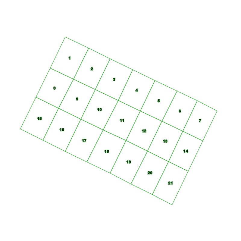
Il dataset contiene la suddivisione in fogli della cartografia del PRG Zona Urbana Centrale Storica distribuita presenti sul territorio comunale. Le informazioni contengono la url dei pdf delle tavole relative.
Simple
- Date (Revision)
- 1995-04-21
- Date (Creation)
- 1995-04-21
- Citation identifier
- c_l219:8d525ba3-2442-4f6d-b84b-22b33572bb20
- Cited responsible party
-
Organisation name Individual name Electronic mail address Role Comune di Torino
geoportale@comune.tor geoportale@comune.torino.it
Owner
- Presentation form
- Digital map
- Issue identification
-
c_l219:8d525ba3-2442-4f6d-b84b-22b33572bb20
- Point of contact
-
Organisation name Individual name Electronic mail address Role Comune di Torino
geoportale@comune.tor geoportale@comune.torino.it
Point of contact
- Maintenance and update frequency
- As needed
- Keywords
-
-
RNDT
-
- Keywords
-
-
EU
-
- Keywords
-
-
zucs
-
taglio
-
scarico
-
prg
-
fogli
-
- GEMET - Concepts, version 2.4
-
-
cartografia
-
- Access constraints
- Other restrictions
- Other constraints
- no limitations to public access
- Use constraints
- Other restrictions
- Other constraints
- Spatial representation type
- Vector
- Denominator
- 1000
- Language
- Italiano
- Character set
- UTF8
- Topic category
-
- Imagery base maps earth cover
))
Vertical extent
- Minimum value
- NaN
- Maximum value
- NaN
- Unique resource identifier
- Monte-Mario-Italy1
- Distribution format
-
Name Version CSV
N.A.
ESRI Shapefile
N.A.
- Distributor contact
-
Organisation name Individual name Electronic mail address Role Comune di Torino
geoportale@comune.tor geoportale@comune.torino.it
Distributor
- OnLine resource
- Hierarchy level
- Dataset
Quantitative result
- Value
- 0.4
Conformance result
- Date (Publication)
- 2010-12-08
- Explanation
-
Fare riferimento alle specifiche indicate
- Statement
-
La Città di Torino si è dotata a partire dal 1995 di un Piano Regolatore Generale.
Metadata
- File identifier
- c_l219:8d525ba3-2442-4f6d-b84b-22b33572bb20 XML
- Metadata language
- Italiano
- Character set
- UTF8
- Hierarchy level
- Dataset
- Date stamp
- 2019-12-17
- Metadata standard name
- Linee Guida RNDT
- Metadata standard version
-
2.0
- Metadata author
-
Organisation name Individual name Electronic mail address Role Comune di Torino
geoportale@comune.tor geoportale@comune.torino.it
Point of contact
Overviews
Spatial extent
Provided by
