 INSPIRE Geoportal
Ambiente - Piano di Zonizzazione Acustica
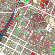
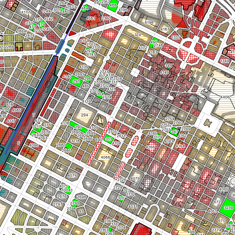
Il dataset rappresenta la suddivisione del territorio cittadino in aree omogenee, secondo 6 classi acustiche. Finalità di tale suddivisione é attribuire i limiti propri per ogni utilizzo del territorio, dagli usi più tutelati (ad esempio scuole e ospedali) a quelli che per propria natura producono livelli acustici significativi (aree produttive).
Simple
- Date (Revision)
- 2010-12-20
- Date (Creation)
- 2010-12-20
- Citation identifier
- c_l219:9db86a8b-3645-4b08-8756-1ed47f1d7352
- Cited responsible party
-
Organisation name Individual name Electronic mail address Role Comune di Torino
geoportale@comune.tor geoportale@comune.torino.it
Owner
- Presentation form
- Digital map
- Issue identification
-
c_l219:9db86a8b-3645-4b08-8756-1ed47f1d7352
- Point of contact
-
Organisation name Individual name Electronic mail address Role Comune di Torino
geoportale@comune.tor geoportale@comune.torino.it
Point of contact
- Maintenance and update frequency
- As needed
- Keywords
-
-
RNDT
-
- Keywords
-
-
EU
-
- Keywords
-
-
classificazione acustica
-
ambiente
-
- Access constraints
- Other restrictions
- Other constraints
- no limitations to public access
- Use constraints
- Other restrictions
- Other constraints
- Spatial representation type
- Vector
- Denominator
- 1000
- Language
- Italiano
- Character set
- UTF8
- Topic category
-
- Environment
))
Vertical extent
- Minimum value
- NaN
- Maximum value
- NaN
- Unique resource identifier
- Monte-Mario-Italy1
- Distribution format
-
Name Version ESRI Shapefile
1.0
- Distributor contact
-
Organisation name Individual name Electronic mail address Role Comune di Torino
geoportale@comune.tor geoportale@comune.torino.it
Distributor
- Hierarchy level
- Dataset
Quantitative result
- Value
- 0.4
Conformance result
- Date (Publication)
- 2010-12-08
- Explanation
-
Fare riferimento alle specifiche indicate
- Statement
-
non presente
Metadata
- File identifier
- c_l219:9db86a8b-3645-4b08-8756-1ed47f1d7352 XML
- Metadata language
- Italiano
- Character set
- UTF8
- Hierarchy level
- Dataset
- Date stamp
- 2022-04-04
- Metadata standard name
- Linee Guida RNDT
- Metadata standard version
-
2.0
- Metadata author
-
Organisation name Individual name Electronic mail address Role Comune di Torino
geoportale@comune.tor geoportale@comune.torino.it
Point of contact
Overviews
Spatial extent
Provided by
