 INSPIRE Geoportal
Dati di base - Grafo stradale
Il dataset contiene gli elementi lineari che rappresentano il grafo stradale dell'intero territorio comunale corredati dell'informazione toponomastica.
Simple
- Date (Revision)
- 2016-12-31
- Date (Creation)
- 2016-12-31
- Citation identifier
- c_l219:dda82fe0-9919-42a3-a8f9-75847d01db6a
- Cited responsible party
-
Organisation name Individual name Electronic mail address Role Comune di Torino
geoportale@comune.tor geoportale@comune.torino.it
Owner
- Presentation form
- Digital map
- Issue identification
-
c_l219:dda82fe0-9919-42a3-a8f9-75847d01db6a
- Point of contact
-
Organisation name Individual name Electronic mail address Role Comune di Torino
geoportale@comune.tor geoportale@comune.torino.it
Point of contact
- Maintenance and update frequency
- As needed
- Keywords
-
-
RNDT
-
- Keywords
-
-
EU
-
- Keywords
-
-
trasporti
-
indirizzi
-
viario
-
- Keywords
-
-
viabilità
-
- Access constraints
- Other restrictions
- Other constraints
- no limitations to public access
- Use constraints
- Other restrictions
- Other constraints
- Spatial representation type
- Vector
- Denominator
- 1000
- Language
- Italiano
- Character set
- UTF8
- Topic category
-
- Transportation
))
Vertical extent
- Minimum value
- NaN
- Maximum value
- NaN
- Unique resource identifier
- Monte-Mario-Italy1
- Distribution format
-
Name Version ESRI Shapefile
1.0
- Distributor contact
-
Organisation name Individual name Electronic mail address Role Comune di Torino
geoportale@comune.tor geoportale@comune.torino.it
Distributor
- OnLine resource
-
Protocol Linkage Name Web Map Service (WMS) https://geomap.reteunitaria.piemonte.it/ws/siccms/coto-01/wmsg01/wms_sicc01_dati_di_base?service=WMS&version=1.1.1&request=getCapabilities
- OnLine resource
-
Protocol Linkage Name WWW:DOWNLOAD-1.0-http--download http://geoportale.comune.torino.it/sec/zip/grafo_stradale.zip accesso riservato
- Hierarchy level
- Dataset
Quantitative result
- Value
- 0.4
Conformance result
- Date (Publication)
- 2010-12-08
- Explanation
-
Fare riferimento alle specifiche indicate
- Statement
-
non presente
Metadata
- File identifier
- c_l219:dda82fe0-9919-42a3-a8f9-75847d01db6a XML
- Metadata language
- Italiano
- Character set
- UTF8
- Hierarchy level
- Dataset
- Date stamp
- 2023-11-06
- Metadata standard name
- Linee Guida RNDT
- Metadata standard version
-
2.0
- Metadata author
-
Organisation name Individual name Electronic mail address Role Comune di Torino
geoportale@comune.tor geoportale@comune.torino.it
Point of contact
Overviews
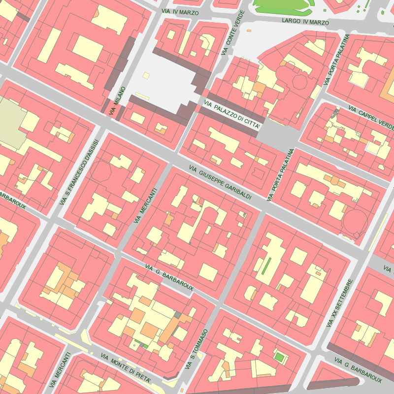
Spatial extent
Provided by
