INSPIRE Geoportal
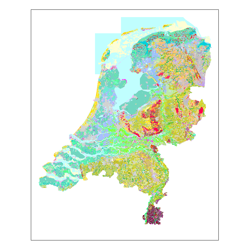
BRO Geomorfologische Kaart (GMM) WMS
Basisregistratie Ondergrond (BRO) Geomorfologischekaart
Simple
Identification info
- Date (Creation)
- 2020-05-07
- Date (Revision)
- 2023-08-02
- Point of contact
-
Organisation name Individual name Electronic mail address Role Beheer PDOK Author
- Keywords
-
- infoMapAccessService
-
geomorfologie
-
genese
-
landvorm
-
relief
-
ouderdom
-
bodem
-
geologie
-
v2019-2-31
- Use limitation
-
Geen beperkingen
- Access constraints
- Other restrictions
- Other constraints
- Geen beperkingen
- Access constraints
- Other restrictions
- Other constraints
- Geen beperkingen
- Service Type
- view
N
S
E
W
))
- Coupling Type
- Tight
- Contains Operations
-
Operation Name Distributed Computing Platforms Connect Point GetCapabilities
Web services https://service.pdok.nl/bzk/bro-geomorfologischekaart/wms/v2_0?request=getcapabilities&service=WMS
- Operates On
- OnLine resource
-
Protocol Linkage Name OGC:WMS https://service.pdok.nl/bzk/bro-geomorfologischekaart/wms/v2_0?request=getcapabilities&service=WMS view_dike_of_geomorphological_interest
OGC:WMS https://service.pdok.nl/bzk/bro-geomorfologischekaart/wms/v2_0?request=getcapabilities&service=WMS view_water_of_geomorphological_interest
OGC:WMS https://service.pdok.nl/bzk/bro-geomorfologischekaart/wms/v2_0?request=getcapabilities&service=WMS view_geomorphological_area
- Hierarchy level
- Service
- Other
-
service
Conformance result
- Date (Publication)
- 2009-10-19
- Explanation
-
Conform verordening, validatie uitgevoerd met de ETF Validator voor INSPIRE view en downloadservices versie 1.4.1
- Pass
- Yes
Conformance result
- Date (Publication)
- 2013-08-09
- Explanation
-
Conform technische specificatie, validatie uitgevoerd met de ETF Validator voor INSPIRE view en downloadservices versie 1.4.1
- Pass
- Yes
Metadata
- File identifier
- d1cb16ca-2029-454f-b3f1-f70bceaf62c1 XML
- Metadata language
- Nederlands; Vlaams
- Character set
- UTF8
- Hierarchy level
- Service
- Hierarchy level name
-
service
- Date stamp
- 2024-08-15
- Metadata standard name
-
ISO 19119
- Metadata standard version
-
Nederlands metadata profiel op ISO 19119 voor services 2.1.0
- Metadata author
-
Organisation name Individual name Electronic mail address Role Beheer PDOK Point of contact