 INSPIRE Geoportal
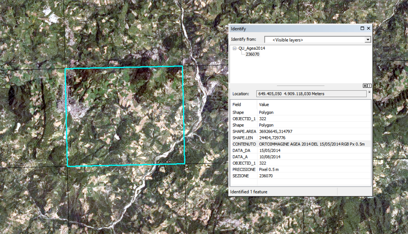
Quadro di unione AGEA 2014
Data base vettoriale, poligonale, relativo alla copertura delle Ortofoto AGEA 2014 sul taglio 1:10.000.Le informazioni contenute nel QU sono: Sezione al 10000, Data di acquisizione, Contenuto, Precisione.
Simple
- Date (Creation)
- 2014-01-01
- Citation identifier
- r_emiro:2015-11-16T145156
- Cited responsible party
-
Organisation name Individual name Electronic mail address Role Regione Emilia-Romagna
Regione Emilia-Romagna
n.d.
Owner Servizio Statistica e Sistemi informativi geografici - Regione Emilia-Romagna
Stefano Olivucci
solivucci@regione.emi solivucci@regione.emilia-romagna.it
Custodian Regione Emilia-Romagna
Servizio Statistica e Sistemi informativi geografici
Serviziostatistica@regione.emi Serviziostatistica@regione.emilia-romagna.it
Author
- Presentation form
- Digital map
- Issue identification
-
r_emiro:2015-11-16T145156
- Point of contact
-
Organisation name Individual name Electronic mail address Role Regione Emilia-Romagna
Archivio Cartografico
archiviocart@regione.emi archiviocart@regione.emilia-romagna.it
Point of contact
- Maintenance and update frequency
- Not planned
-
GEMET - Concepts, version 3.1
-
-
territorio (geografia)
-
raster
-
metainformazione
-
grigliatura
-
cartografia
-
-
Regione
-
-
Regionale
-
EU
-
-
GEMET - INSPIRE themes, version 1.0
-
-
Sistemi di griglie geografiche
-
Orto immagini
-
- Use limitation
-
CC BY 3.0 (Creative Commons - Attribuzione) https://creativecommons.org/licenses/by/3.0/legalcode.it
- Use limitation
-
Dato pubblico (cfr. art. 1 Codice Amministrazione Digitale)
- Access constraints
- Other restrictions
- Other constraints
- Accesso pubblico limitato in accordo all Articolo 13(1)(e) della Direttiva INSPIRE
- Use constraints
- Other restrictions
- Other constraints
- CC BY 3.0 (Creative Commons - Attribuzione)
- Classification
- Unclassified
- Spatial representation type
- Vector
- Denominator
- 10000
- Language
- Italiano
- Character set
- UTF8
- Topic category
-
- Imagery base maps earth cover
- Location
- Description
-
Limite per i quadri di unione ETRS89
))
- Geographic identifier
- X5098
- Reference system identifier
- http://www.epsg-registry.org/export.htm?gml=urn:ogc:def:crs:EPSG::3044 / ETRS89/ETRS-TM32
- Distribution format
-
Name Version SHP
Ver1000
WMS
1.3.0
Distributor
- Distributor contact
-
Organisation name Individual name Electronic mail address Role Regione Emilia-Romagna
Archivio Cartografico
archiviocart@regione.emi archiviocart@regione.emilia-romagna.it
Distributor
- Fees
-
Non in vendita
- Units of distribution
-
Selezione geografica
- OnLine resource
-
Protocol Linkage Name OGC Web Map Service http://servizigis.regione.emilia-romagna.it/wms/metadati_raster?service=WMS&version=1.3.0&request=GetCapabilities QU_Agea2014
- Hierarchy level
- Dataset
Quantitative result
- Value
- -999
Domain consistency
Conformance result
- Date (Publication)
- 2010-12-08
- Explanation
-
REGOLAMENTO (UE) N. 1089/2010 DELLA COMMISSIONE del 23 novembre 2010 recante attuazione della direttiva 2007/2/CE del Parlamento europeo e del Consiglio per quanto riguarda l'interoperabilità dei set di dati territoriali e dei servizi di dati territoriali
- Pass
- No
Conformance result
- Date (Publication)
- 2011-01-01
- Explanation
-
n.d.
- Pass
- No
- Statement
-
Data base vettoriale, poligonale, relativo alla copertura delle Ortofoto AGEA 2014 sul taglio 1:10.000.
Metadata
- File identifier
- r_emiro:2015-11-16T145156 XML
- Metadata language
- Italiano
- Character set
- UTF8
- Hierarchy level
- Dataset
- Date stamp
- 2015-11-16
- Metadata standard name
-
Linee Guida RNDT
- Metadata standard version
-
2.0
- Metadata author
-
Organisation name Individual name Electronic mail address Role Regione Emilia-Romagna
Servizio Statistica e Sistemi informativi geografici
Serviziostatistica@regione.emi Serviziostatistica@regione.emilia-romagna.it
Point of contact
Overviews
Spatial extent
Provided by
