INSPIRE Geoportal
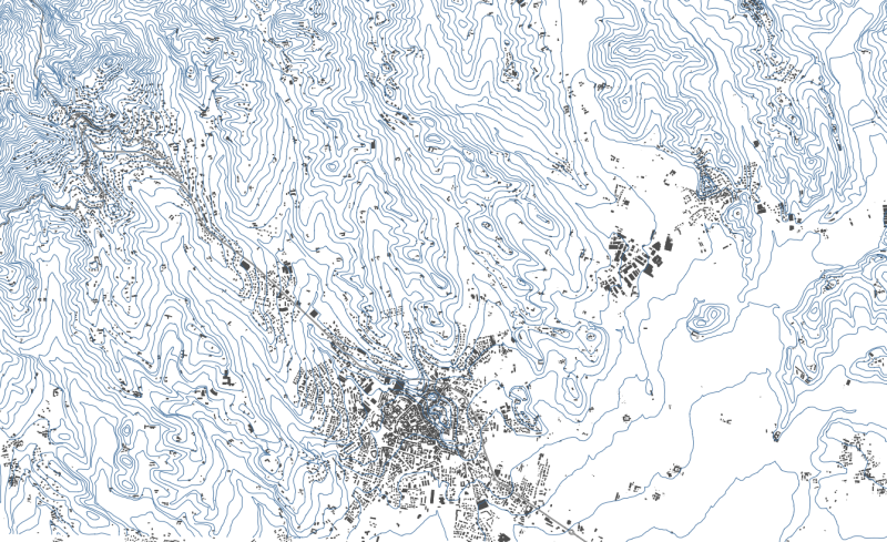
CTRN vettoriale 1:10.000 (1991-2005) - Curve di livello - STORICO
Il dataset contiene le curve di livello estratte dalla Carta Tecnica Regionale Numerica (CTRN) alla scala 1:10.000 acquisita dal Servizio Cartografico della Regione Piemonte a partire da voli aerei effettuati dal 1991 al 2005.Il dato può essere scaricato secondo il taglio dei Fogli alla scala 1:50.000.
Simple
- Date (Revision)
- 2004-09-09
- Date (Creation)
- 1991-01-01
- Citation identifier
- r_piemon:67977e61-9db1-4248-8ffb-df092e223eea
- Cited responsible party
-
Organisation name Individual name Electronic mail address Role Regione Piemonte - A1613B - Sistema informativo territoriale e ambientale
Custodian Regione Piemonte
Owner
- Presentation form
- Digital map
- Issue identification
-
r_piemon:67977e61-9db1-4248-8ffb-df092e223eea
- Point of contact
-
Organisation name Individual name Electronic mail address Role Regione Piemonte - A1613B - Sistema informativo territoriale e ambientale
Point of contact
- Maintenance and update frequency
- As needed
- Keywords
-
-
RNDT
-
- Keywords
-
-
EU
-
-
GEMET- Concepts version 2.4
-
-
altitudine
-
- Keywords
-
-
opendata
-
cartografiadibase
-
CTRN
-
-
Spatial scope
-
-
Regionale
-
- Access constraints
- Other restrictions
- Other constraints
- no limitations to public access
- Use constraints
- Other restrictions
- Other constraints
- Spatial representation type
- Vector
- Denominator
- 10000
- Language
- Italiano
- Character set
- UTF8
- Topic category
-
- Imagery base maps earth cover
- Elevation
- Begin date
- 1991-01-01
- End date
- 2005-12-31
))
- Unique resource identifier
- WGS84/UTM 32N
- Distribution format
-
Name Version ESRI ArcSDE 8.x/SDE 3.x
8.x; 3.x
- Distributor contact
-
Organisation name Individual name Electronic mail address Role Regione Piemonte - A1613B - Sistema informativo territoriale e ambientale
Distributor
- OnLine resource
- Hierarchy level
- Dataset
Conformance result
- Date (Publication)
- 2010-12-08
- Explanation
-
Fare riferimento alle specifiche indicate
Quantitative result
- Value
- 4
- Statement
-
-Import dati originali e conversione da Gauss Boaga a UTM (CSI PiemonteSistemi Informativi Territoriali) aprile 2001 - settembre 2001-Riorganizzazione in livelli tematici e assemblamento sezioni (CSI PiemonteSistemi Informativi Territoriali) marzo 2002 - marzo 2002-Correzione quote non attribuite (CSI PiemonteSistemi Informativi Territoriali) maggio 2009 - giugno 2009-Revisione georeferenziazione e aggiornamento sezioni (CSI PiemonteSistemi Informativi Territoriali) aprile 2009 - maggio 2009
Metadata
- File identifier
- r_piemon:67977e61-9db1-4248-8ffb-df092e223eea XML
- Metadata language
- Italiano
- Character set
- UTF8
- Hierarchy level
- Dataset
- Date stamp
- 2022-11-24
- Metadata standard name
-
Linee Guida RNDT
- Metadata standard version
-
2.0
- Metadata author
-
Organisation name Individual name Electronic mail address Role CSI Piemonte
Point of contact