 INSPIRE Geoportal
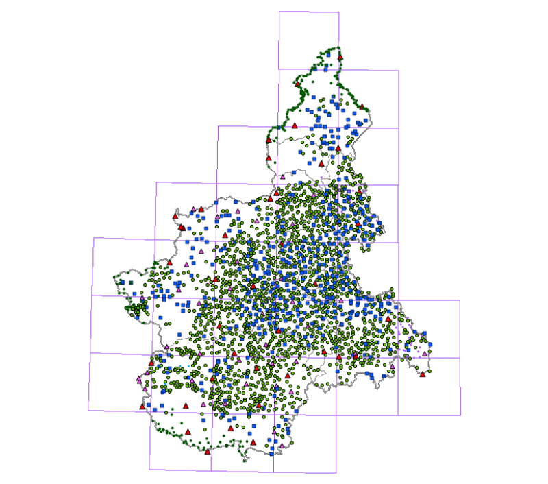
Vertici trigonometrici - storico
I vertici trigonometrici sono i punti della rete geodetica nazionale, realizzata dall'IGM per triangolazione e trilaterazione, suddivisi in diversi ordini ed uniformemente distribuiti sul territorio con una interdistanza media di circa 5 km. Da tale rete, la cui istituzione è iniziata praticamente con l'unità d'Italia e la cui prima determinazione si è conclusa nel 1919, sono derivate le altre reti nazionali.Il dato di riferimento è fornito da IGM ( https://www.igmi.org/).
Simple
- Date (Revision)
- 2004-07-28
- Date (Creation)
- 1990-01-01
- Citation identifier
- r_piemon:a7849aaa-dbb3-46c0-bfe6-9d9d4b1fa251
- Cited responsible party
-
Organisation name Individual name Electronic mail address Role Regione Piemonte - A1613B - Sistema informativo territoriale e ambientale
cartografico@regione.pie cartografico@regione.piemonte.it
Custodian Regione Piemonte
info-geoportale@regione.piemonte.it geoportale@regione.pie info-geoportale@regione.piemonte.it
Owner
- Presentation form
- Digital map
- Issue identification
-
r_piemon:a7849aaa-dbb3-46c0-bfe6-9d9d4b1fa251
- Point of contact
-
Organisation name Individual name Electronic mail address Role Regione Piemonte - A1613B - Sistema informativo territoriale e ambientale
cartografico@regione.pie cartografico@regione.piemonte.it
Point of contact
- Maintenance and update frequency
- As needed
- Keywords
-
-
RNDT
-
- Keywords
-
-
EU
-
- Keywords
-
-
vertici trigonometrici
-
-
GEMET- Concepts version 2.4
-
-
geodesia
-
- Keywords
-
-
opendata
-
-
Spatial scope
-
-
Regionale
-
- Access constraints
- Other restrictions
- Other constraints
- no limitations to public access
- Use constraints
- Other restrictions
- Other constraints
- Spatial representation type
- Vector
- Denominator
- 2000
- Language
- Italiano
- Character set
- UTF8
- Topic category
-
- Imagery base maps earth cover
- Elevation
))
- Unique resource identifier
- WGS84/UTM 32N
- Distribution format
-
Name Version ESRI Shape
N.A.
- Distributor contact
-
Organisation name Individual name Electronic mail address Role Regione Piemonte - A1613B - Sistema informativo territoriale e ambientale
cartografico@regione.pie cartografico@regione.piemonte.it
Distributor
- Hierarchy level
- Dataset
Conformance result
- Date (Publication)
- 2010-12-08
- Explanation
-
Fare riferimento alle specifiche indicate
Quantitative result
- Value
- 1
- Statement
-
1981 - 1982 Acquisizione da cartografia IGM [Regione Piemonte]
Metadata
- File identifier
- r_piemon:a7849aaa-dbb3-46c0-bfe6-9d9d4b1fa251 XML
- Metadata language
- Italiano
- Character set
- UTF8
- Hierarchy level
- Dataset
- Date stamp
- 2023-02-02
- Metadata standard name
-
Linee Guida RNDT
- Metadata standard version
-
2.0
- Metadata author
-
Organisation name Individual name Electronic mail address Role CSI Piemonte
info-geoportale@regione.piemonte.it geoportale@regione.pie info-geoportale@regione.piemonte.it
Point of contact
Overviews

Spatial extent
Provided by
