INSPIRE Geoportal
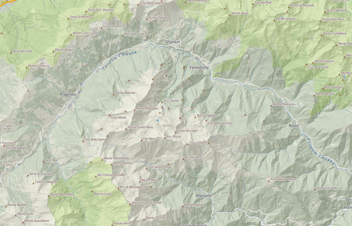
BDTRE 2024 - Database GeoTopografico (dataset vettoriale - scarico per comune)
Si tratta della versione annuale della Banca Dati Territoriale di Riferimento contenente i dati aggiornati al 29/02/2024.I dati sono distribuiti con taglio su base comunale.
Simple
- Date (Revision)
- 2024-03-29
- Citation identifier
- r_piemon:da9b12ba-866a-4f0f-8704-5b7b753e4f15
- Cited responsible party
-
Organisation name Individual name Electronic mail address Role Regione Piemonte - A1613B - Sistema informativo territoriale e ambientale
Custodian Regione Piemonte
Owner
- Presentation form
- Digital map
- Issue identification
-
r_piemon:da9b12ba-866a-4f0f-8704-5b7b753e4f15
- Point of contact
-
Organisation name Individual name Electronic mail address Role Regione Piemonte - A1613B - Sistema informativo territoriale e ambientale
Point of contact
- Maintenance and update frequency
- As needed
- Keywords
-
-
db topografico
-
BDTRE
-
- GEMET - Concepts, version 2.4
-
-
cartografia
-
- Keywords
-
-
opendata
-
- Keywords
-
-
RNDT
-
- Keywords
-
-
EU
-
-
Spatial scope
-
-
Regionale
-
- Access constraints
- Other restrictions
- Other constraints
- no limitations to public access
- Use constraints
- Other restrictions
- Other constraints
- Spatial representation type
- Vector
- Denominator
- 5000
- Language
- Italiano
- Character set
- UTF8
- Topic category
-
- Imagery base maps earth cover
))
- Supplemental Information
-
La struttura dati è conforme alle specifiche nazionali (DM 10/11/2011), secondo il modello implementativo shape-flat.
- Unique resource identifier
- WGS84/UTM 32N
- Distribution format
-
Name Version ESRI Shapefile
1.0
- Distributor contact
-
Organisation name Individual name Electronic mail address Role Regione Piemonte - A1613B - Sistema informativo territoriale e ambientale
Distributor
- OnLine resource
-
Protocol Linkage Name WWW:LINK-1.0-http--link https://geoportale.igr.piemonte.it/cms/bdtre/modalita-di-pubblicazione-e-fruizione
- OnLine resource
- Hierarchy level
- Dataset
Conformance result
- Date (Publication)
- 2010-12-08
- Explanation
-
Fare riferimento alle specifiche indicate
Quantitative result
- Value
- 2
- Statement
-
Alimentata dalla produzione dei DB Topografici locali, finanziati da appositi bandi erogati dalla Fondazione CRT (2006, 2010). Il territorio al contorno delle aree derivate dalle produzioni dei DB Topografici è stato popolato, per i soli strati prioritari, con i dati più recenti ed aggiornati disponibili.
Metadata
- File identifier
- r_piemon:da9b12ba-866a-4f0f-8704-5b7b753e4f15 XML
- Metadata language
- Italiano
- Character set
- UTF8
- Hierarchy level
- Dataset
- Date stamp
- 2024-09-16
- Metadata standard name
-
Linee Guida RNDT
- Metadata standard version
-
2.0
- Metadata author
-
Organisation name Individual name Electronic mail address Role CSI Piemonte
Point of contact