 INSPIRE Geoportal
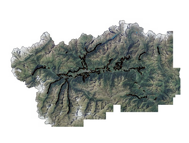
Catasto strade regionali - Rilievi gyros
Rilievo gyros. Deriva dal rilievo con cadenza pari a 5 metri efettuato tramite giroscopio nel 1991 e georeferenziato in cordinate UTM nel 2001. E' fondamentale per individuare la relazione tra progressive Km e coordinate stradali. Strade regionali escluse SR 44, 45, 46, 47. SCOPO:Rappresentazione degli elementi stradali delle strade di competenza della Direzione Viabilità.
Simple
- Date (Creation)
- 2011-12-02
- Date (Revision)
- 2023-02-02
- Citation identifier
- r_vda:02505-DATA
- Cited responsible party
-
Organisation name Individual name Electronic mail address Role Regione Autonoma Valle d'Aosta
u-cartografia@regione.vda.it cartografia@regione.vda u-cartografia@regione.vda.it
Owner RAVDA - Viabilità e opere stradali
opere_pubbliche@regione.vda.it pubbliche@regione.vda opere_pubbliche@regione.vda.it
Author
- Presentation form
- Digital map
- Issue identification
-
r_vda:02505-DATA
- Point of contact
-
Organisation name Individual name Electronic mail address Role RAVDA - Direzione Viabilità
f.piazzano@regione.vda f.piazzano@regione.vda.it
Point of contact
- Maintenance and update frequency
- Not planned
- GEMET - Concepts, version 2.4
-
-
Strade regionali
-
- Keywords
-
-
mappa_privata
-
EU
-
- Use limitation
-
Nel rispetto del diritto di proprietà e di autore propri dell'Amministrazione regionale, legge n.633 del 22 aprile 1941, Protezione del diritto d'autore e di altri diritti connessi al suo esercizio, è vietata, sotto qualsiasi forma, la duplicazione, e/o riproduzione la commercializzazione e/o la cessione a terzi dei dati ceduti, anche se parzialmente rielaborati.
- Access constraints
- Other restrictions
- Other constraints
- Nessuna Limitazione al Pubblico Accesso
- Use constraints
- Other restrictions
- Other constraints
-
Nessuno.
- Spatial representation type
- Vector
- Distance
- 1 http://standards.iso.org/ittf/PubliclyAvailableStandards/ISO_19139_Schemas/resources/uom/ML_gmxUom.xml#m
- Language
- Italiano
- Character set
- UTF8
- Topic category
-
- Transportation
))
- Begin date
- 2012-01-01
- End date
- 2030-12-31
Vertical extent
- Minimum value
- 337
- Maximum value
- 1956
- Supplemental Information
-
Server: GDB: ViabilitaFeature dataset: StradeRegionaliFeature class: Gyros3DAttributi:- ID- STRADA- PROGRESSIVA- CAP_TRIG- PIETRA- LARGHEZZA- X- Y- CLASSE- ANGOLO- PENDENZA- TIPO- QUOTA
- Unique resource identifier
- ED50-UTM32N
- Distribution format
-
Name Version geo+json 1.0
- Distributor contact
-
Organisation name Individual name Electronic mail address Role Ufficio Cartografico - Centro Diffusione Conoscenze Territoriali
u-cartografia@regione.vda.it cartografia@regione.vda u-cartografia@regione.vda.it
Distributor
- OnLine resource
-
Protocol Linkage Name WWW:LINK-1.0-http--link https://mappe.partout.it/pa/GeoNavSCTpa/?metadato=MTD6N2394
- Hierarchy level
- Dataset
Quantitative result
- Value
- 1.00
Conformance result
- Date (Publication)
- 2010-12-08
- Explanation
-
Fare riferimento alle specifiche indicate
- Statement
-
Eventi acquisiti con strumento Gyros nel 1991.
Metadata
- File identifier
- r_vda:02505-META:20160908:170951 XML
- Metadata language
- Italiano
- Character set
- UTF8
- Parent identifier
-
Catasto strade regionali - Rilievi gyros
r_vda:02505-META:20160908:170951
- Hierarchy level
- Dataset
- Hierarchy level name
-
Dataset
- Date stamp
- 2023-02-02
- Metadata standard name
- Linee Guida RNDT
- Metadata standard version
-
2.0
- Metadata author
-
Organisation name Individual name Electronic mail address Role RAVDA
u-cartografia@regione.vda.it cartografia@regione.vda u-cartografia@regione.vda.it
Point of contact
Overviews
Spatial extent
Provided by
