 INSPIRE Geoportal
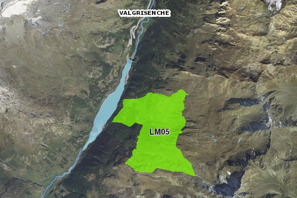
Eliski - Divieto di discesa con gli sci aree limitate dai comuni
Le aree di divieto di discesa con gli sci sono individuate dai Comuni per ragioni di salvaguardia della fauna ovvero per ragioni turistiche; sono approvate in cartografia eliski.
Simple
- Date (Creation)
- 2022-01-12
- Date (Publication)
- 2022-01-12
- Citation identifier
- r_vda:04288-DATA
- Cited responsible party
-
Organisation name Individual name Electronic mail address Role Regione Autonoma Valle d'Aosta
u-cartografia@regione.vda.it cartografia@regione.vda u-cartografia@regione.vda.it
Owner RAVDA - Infrastrutture funiviarie
g.zoppo@regione.vda g.zoppo@regione.vda.it
Author
- Presentation form
- Digital map
- Issue identification
-
r_vda:04288-DATA
- Point of contact
-
Organisation name Individual name Electronic mail address Role RAVDA - Ufficio cartografico
u-cartografia@regione.vda.it cartografia@regione.vda u-cartografia@regione.vda.it
Point of contact
- Maintenance and update frequency
- Not planned
- Keywords
-
-
EU
-
- Use limitation
-
Nel rispetto del diritto di proprietà e di autore propri dell'Amministrazione regionale, legge n.633 del 22 aprile 1941, Protezione del diritto d'autore e di altri diritti connessi al suo esercizio, è vietata, sotto qualsiasi forma, la duplicazione, e/o riproduzione, la commercializzazione e/o la cessione a terzi dei dati ceduti, anche se parzialmente rielaborati.
- Access constraints
- Other restrictions
- Other constraints
- Nessuna Limitazione al Pubblico Accesso
- Access constraints
- Other restrictions
- Other constraints
- Nessuna Condizione di Accesso e Utilizzo
- Spatial representation type
- Vector
- Denominator
- 25000
- Language
- Italiano
- Character set
- UTF8
- Topic category
-
- Economy
- Planning cadastre
- Transportation
))
- Begin date
- 2012-01-01
- End date
- 2030-12-31
Vertical extent
- Minimum value
- 300
- Maximum value
- 4800
- Supplemental Information
-
Server: GDB: Eliski
- Unique resource identifier
- ED50-UTM32N
- Distribution format
-
Name Version geo+json 1.0
- Distributor contact
-
Organisation name Individual name Electronic mail address Role Ufficio Cartografico - Centro Diffusione Conoscenze Territoriali
u-cartografia@regione.vda.it cartografia@regione.vda u-cartografia@regione.vda.it
Distributor
- OnLine resource
-
Protocol Linkage Name WWW:LINK-1.0-http--link https://mappe.regione.vda.it/pub/GeoNavSCT/index.html?metadato=MTD283N0010
- OnLine resource
-
Protocol Linkage Name Web Map Service (WMS) https://geoservizi.regione.vda.it/geoserver/sctEliski/wms?service=WMS&version=1.1.0&request=GetCapabilities
- Hierarchy level
- Dataset
Quantitative result
- Value
- 1.0
Conformance result
- Date (Publication)
- 2010-12-08
- Explanation
-
Fare riferimento alle specifiche indicate
- Statement
-
Mappe cartografiche che espongono le aree e i dati relativi al servizio di trasporto di sciatori mediante elicottero (eliski) proposte dai Comuni alla Struttura regionale competente e approvate, a seguito di relativa istruttoria, dalla Giunta regionale ai sensi della l.r. 15/1988.
Metadata
- File identifier
- r_vda:04288-META:20220112:151900 XML
- Metadata language
- Italiano
- Character set
- UTF8
- Parent identifier
-
Eliski - Divieto di discesa con gli sci aree limitate dai comuni
r_vda:04288-META:20220112:151900
- Hierarchy level
- Dataset
- Hierarchy level name
-
Dataset
- Date stamp
- 2022-01-13
- Metadata standard name
- Linee Guida RNDT
- Metadata standard version
-
2.0
- Metadata author
-
Organisation name Individual name Electronic mail address Role RAVDA - Ufficio Cartografico
u-cartografia@regione.vda.it cartografia@regione.vda u-cartografia@regione.vda.it
Point of contact
Overviews
Spatial extent
Provided by
