 INSPIRE Geoportal
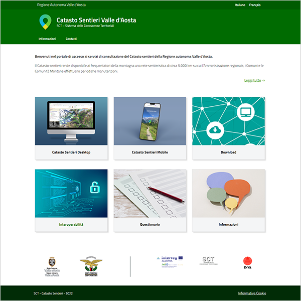
Applicazione - Catasto Sentieri
Portale di accesso ai servizi di consultazione del Catasto sentieri della Regione autonoma Valle d’Aosta. Il Catasto sentieri rende disponibile ai frequentatori della montagna una rete sentieristica di circa 5.000 km su cui l’Amministrazione regionale, i Comuni e le Comunità Montane effettuano periodiche manutenzioni.
Simple
Identification info
- Date (Publication)
- 2022-09-16
- Citation identifier
- r_vda:04329-SRV
- Cited responsible party
-
Organisation name Individual name Electronic mail address Role Regione Autonoma Valle d'Aosta
difesa_suolo@regione.vda.it suolo@regione.vda difesa_suolo@regione.vda.it
Owner RAVDA - Struttura foreste e sentieristica
forestazione-sentieristica@regione.vda.it sentieristica@regione.vda forestazione-sentieristica@regione.vda.it
Author
- Point of contact
-
Organisation name Individual name Electronic mail address Role RAVDA - Ufficio Cartografico
u-cartografia@regione.vda.it cartografia@regione.vda u-cartografia@regione.vda.it
Point of contact
-
REGOLAMENTO (CE) N. 1205/2008 DELLA COMMISSIONE del 3 dicembre 2008 recante attuazione della direttiva 2007/2/CE del Parlamento europeo e del Consiglio per quanto riguarda i metadati, Parte D 4, Classificazione dei servizi di dati territoriali
- Keywords
-
-
EU
-
- Access constraints
- Other restrictions
- Other constraints
- Nessuna Limitazione al Pubblico Accesso
- Access constraints
- Other restrictions
- Other constraints
- Nessuna Condizione di Accesso e Utilizzo
- Service Type
- view
))
- Coupling Type
- Loose
- Contains Operations
-
Operation Name Distributed Computing Platforms Connect Point GetMap
Web services https://catastosentieri.regione.vda.it/
- Unique resource identifier
- ETRS89-XYZ
- OnLine resource
-
Protocol Linkage Name https://catastosentieri.regione.vda.it/
- Hierarchy level
- Service
- Other
-
Service
Conformance result
- Date (Publication)
- 2010-12-08
- Explanation
-
Fare riferimento alle specifiche indicate
Metadata
- File identifier
- r_vda:04329-META:20220916:114600 XML
- Metadata language
- Italiano
- Character set
- UTF8
- Parent identifier
-
Applicazione - Catasto Sentieri
r_vda:04329-META:20220916:114600
- Hierarchy level
- Service
- Hierarchy level name
-
Servizio
- Date stamp
- 2017-04-07
- Metadata standard name
- Linee Guida RNDT
- Metadata standard version
-
2.0
- Metadata author
-
Organisation name Individual name Electronic mail address Role RAVDA - Ufficio cartografico
u-cartografia@regione.vda.it cartografia@regione.vda u-cartografia@regione.vda.it
Point of contact
Overviews
Spatial extent
Provided by
