 INSPIRE Geoportal
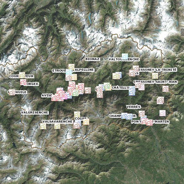
Agriturismi
I dati fanno riferimento alle strutture che operano come agriturismi sul territorio valdostano, con indicazione della tipologia di servizio prestato.
Simple
- Date (Creation)
- 2022-09-26
- Citation identifier
- r_vda:04335-DATA
- Cited responsible party
-
Organisation name Individual name Electronic mail address Role Regione Autonoma Valle d'Aosta
u-cartografia@regione.vda.it cartografia@regione.vda u-cartografia@regione.vda.it
Owner RAVDA - Struttura investimenti aziendali e pianificazione agricolo-territoriale
agricoltura@regione.vda agricoltura@regione.vda.it
Author
- Presentation form
- Digital model
- Issue identification
-
r_vda:04335-DATA
- Point of contact
-
Organisation name Individual name Electronic mail address Role RAVDA - Ufficio cartografico
u-cartografia@regione.vda.it cartografia@regione.vda u-cartografia@regione.vda.it
Point of contact
- Maintenance and update frequency
- Not planned
- GEMET - Concepts, version 2.4
-
-
agriturismo
-
agricoltura
-
- Keywords
-
-
EU
-
- Use limitation
-
Nel rispetto del diritto di proprietà e di autore propri dell'Amministrazione regionale, legge n.633 del 22 aprile 1941 "Protezione del diritto d'autore e di altri diritti connessi al suo esercizio" è vietata, sotto qualsiasi forma, la duplicazione, la riproduzione, la commercializzazione e/o la cessione a terzi dei dati ceduti, anche se parzialmente rielaborati.
- Access constraints
- Other restrictions
- Other constraints
- Nessuna Limitazione al Pubblico Accesso
- Use constraints
- Other restrictions
- Other constraints
- Spatial representation type
- Grid
- Denominator
- 2000
- Language
- Italiano
- Character set
- UTF8
- Topic category
-
- Farming
))
- Begin date
- 2012-01-01
- End date
- 2030-12-31
Vertical extent
- Minimum value
- 300
- Maximum value
- 4800
- Supplemental Information
-
Server: GDB: DTM.gdb /
- Unique resource identifier
- ED50-UTM32N
- Distribution format
-
Name Version geo+json 1.0
- Distributor contact
-
Organisation name Individual name Electronic mail address Role Ufficio Cartografico - Centro Diffusione Conoscenze Territoriali
u-cartografia@regione.vda.it cartografia@regione.vda u-cartografia@regione.vda.it
Distributor
- OnLine resource
-
Protocol Linkage Name WWW:LINK-1.0-http--link https://mappe.partout.it/pub/GeoNavSCT/?metadato=MTD187N5296
- Hierarchy level
- Dataset
Quantitative result
- Value
- 0.50
Conformance result
- Date (Publication)
- 2010-12-08
- Explanation
-
Fare riferimento alle specifiche indicate
- Statement
-
La cartografia è stata realizzata partendo da informazioni acquisite da pratiche amministrative nel corso degli anni.
Metadata
- File identifier
- r_vda:04335-META:20220926:133400 XML
- Metadata language
- Italiano
- Character set
- UTF8
- Parent identifier
-
Agriturismi
r_vda:04335-META:20220926:133400
- Hierarchy level
- Dataset
- Hierarchy level name
-
Dataset
- Date stamp
- 2022-09-26
- Metadata standard name
- Linee Guida RNDT
- Metadata standard version
-
2.0
- Metadata author
-
Organisation name Individual name Electronic mail address Role RAVDA - Ufficio Cartografico
u-cartografia@regione.vda.it cartografia@regione.vda u-cartografia@regione.vda.it
Point of contact
Overviews
Spatial extent
Provided by
