INSPIRE Geoportal
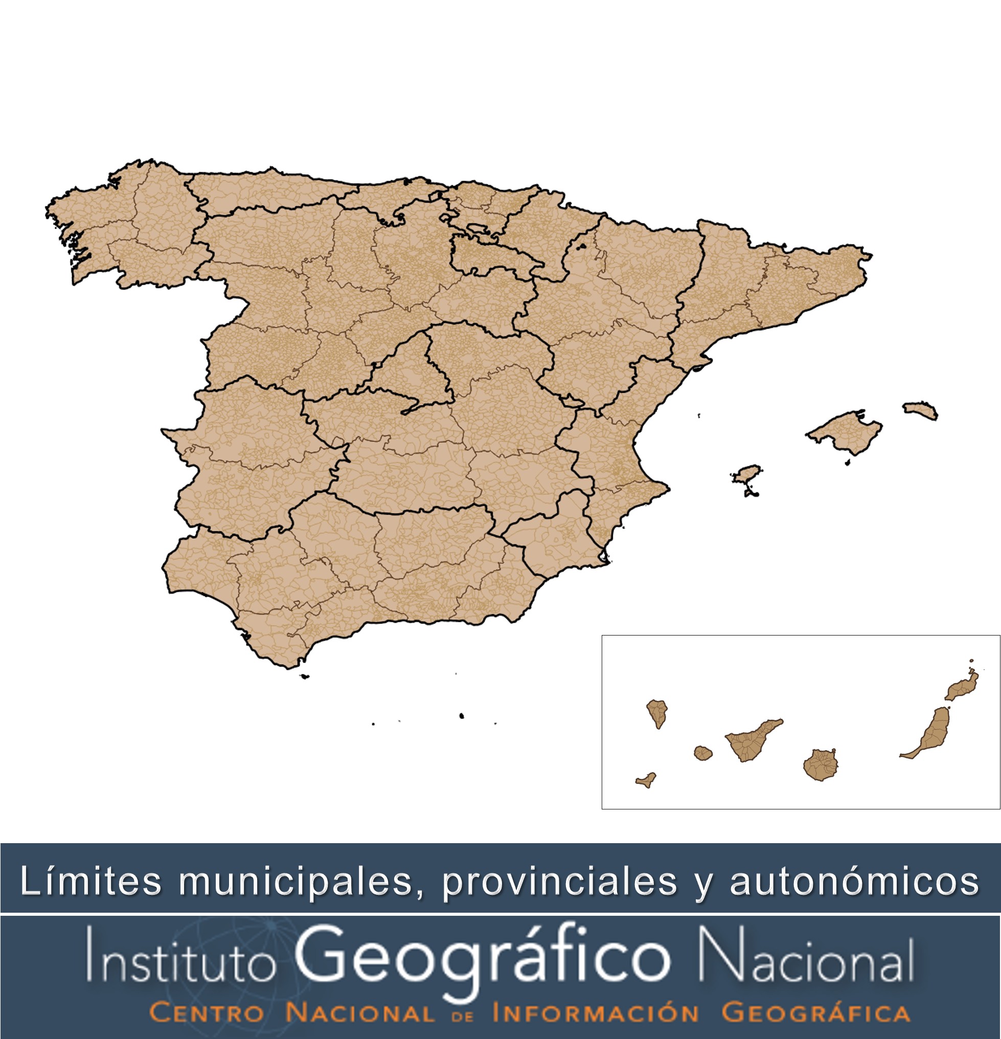
Divisiones Administrativas de España
Recintos municipales, provinciales y autonómicos y líneas límite municipales, provinciales y autonómicas inscritos en el Registro Central de Cartografía (RCC)( https://www.ign.es/web/ign/portal/rcc-area-rcc). La geometría inscrita en el RCC responde a la interpretación de los títulos jurídicos inscritos en el RCC: actas de línea límite, resoluciones administrativas, sentencias judiciales, etc. Algunas líneas o tramos de líneas pueden ser "provisionales", es decir, que carecen de título jurídico que avale su geometría y por tanto su representación en la cartografía solo obedece a la necesidad topológica del cierre de polígonos municipales.
El Real Decreto 1545/2007, de 23 de noviembre, por el que se regula el Sistema Cartográfico Nacional establece entre las funciones del RCC las de inscribir la cartografía oficial, las delimitaciones territoriales y sus variaciones, y recopilar, normalizar y difundir la toponimia oficial. El artículo 20 de este Real Decreto señala que las líneas límite municipales, los límites de las provincias y las delimitaciones de los territorios de las comunidades autónomas son parte de las Delimitaciones Territoriales y por tanto, deben inscribirse en el Registro Central de Cartografía. Asimismo, el artículo 4.1 del mencionado Real Decreto establece que «toda la producción de información geográfica y cartografía oficiales se realizará a partir del Equipamiento Geográfico de Referencia Nacional, que estará integrado por (…); por las Delimitaciones Territoriales inscritas en el Registro Central de Cartografía (...)», es decir, las delimitaciones territoriales usadas en la cartografía oficial deberán ser las inscritas en el RCC.
Hay que señalar que, con carácter general, la geometría con la que figura inscrita cada línea en el RCC tiene una incertidumbre geométrica en torno a 40 metros, según la experiencia y contrastación con trabajos puntuales precisos realizados por el Instituto Geográfico en numerosas líneas límite. Esto es consecuencia de las imprecisiones propias de los métodos e instrumentos topográficos utilizados en su día por el Instituto Geográfico para su levantamiento y posterior trazado sobre el Mapa Topográfico Nacional, a las que hay que añadir las de los procesos de digitalización de dichas líneas límite sobre cartografía impresa, llevados a cabo años después para obtener su versión digital. La excepción a lo anterior son aquellas líneas en las que se han desarrollado una serie de trabajos técnicos y administrativos exigidos por la normativa estatal o autonómica vigente para el deslinde de los términos municipales, lo que ha permitido la inscripción de una geometría más precisa.
Simple
- Date (Creation)
- 2012-01-01
- Date (Publication)
- 2020-01-01
- Date (Revision)
- 2025-05-01
- Citation identifier
- IGN / BDLJE
- Citation identifier
- IGN / bdlje_limites_adm
- Citation identifier
- IGN / bdlje_unidades_adm
- Citation identifier
- IGN / bdlje_limites_hist
- Point of contact
-
Organisation name Individual name Electronic mail address Role Instituto Geográfico Nacional
Owner Centro Nacional de Información Geográfica (CNIG)
Publisher
- Maintenance and update frequency
- Quarterly
- Update scope
- Dataset
- Maintenance note
-
Actualización trimestral
- Keywords
- Keywords
-
-
IGN
-
Líneas Límite
-
- Specific usage
-
Información geográfica de referencia de los recintos municipales, provinciales y autonómicos y líneas límite municipales, provinciales y autonómicas inscritos en el Registro Central de Cartografía (RCC) y sus variaciones. Uso como referencia para las delimitaciones territoriales usadas en la cartografía oficial (artículo 4.1 Real Decreto 1545/2007, de 23 de noviembre)
- User contact info
-
Organisation name Individual name Electronic mail address Role Instituto Geográfico Nacional
Author
- Access constraints
- Other restrictions
- Other constraints
- Sin limitaciones al acceso público.
- Use constraints
- Other restrictions
- Other constraints
- No se aplican condiciones de acceso y uso.
- Other constraints
- BDLJE CC-BY 4.0 ign.es
- Spatial representation type
- Vector
- Denominator
- 25000
- Language
- Spanish; Castilian
- Language
- Catalan; Valencian
- Language
- baq
- Language
- glg
- Character set
- UTF8
- Topic category
-
- Boundaries
- Description
-
Península Ibérica, Illes Balears, Canarias, Ceuta y Melilla
))
- Unique resource identifier
- ETRS89 en la Península, Illes Balears, Ceuta y Melilla. Coordenadas geográficas longitud y latitud.
- Unique resource identifier
- REGCAN95 en Canarias. Coordenadas geográficas longitud y latitud.
- Distribution format
-
Name Version Shapefile (.shp) Desconocida
GML a través de servicio WFS y ATOM 4.0
geo+json a través de API Features 1.0.2
Distributor
- Distributor contact
-
Organisation name Individual name Electronic mail address Role Centro Nacional de Información Geográfica (CNIG)
Distributor
- Fees
-
Descarga gratuita a través del centro de descargas, de los servicios de descarga WFS, ATOM Feed, API Features o a través de la web del Centro de Descargas del CNIG.
- Units of distribution
-
Toda España
- OnLine resource
- Hierarchy level
- Dataset
Conformance result
Conformance result
- Statement
-
El origen de los datos que conforman estas geometrías es muy heterogéneo, de forma que la precisión de las líneas límite oscila en un rango de decimétrico a decamétrico. Las líneas límite inscritas en el Registro Central de Cartografía de mayor precisión proceden de resoluciones administrativas o sentencias judiciales que establezcan con precisión la línea o a partir de trabajos específicos de mejora de la línea limite. Estos trabajos consisten en la localización de los mojones que determinan la línea límite, replanteo de aquéllos desaparecidos a partir de la documentación jurídica y técnica registrada (normalmente acta de deslinde, cuaderno topográfico de campo y planimetrías municipales), asignación de coordenadas precisas a los mojones y de la línea entre dos mojones consecutivos (en el caso de que no fuera en línea recta) y en su posterior refrendo jurídico del resultado de los trabajos. La mayoría de las líneas límite inscritas tienen una precisión decamétrica, consecuencia de las precisiones propias de los métodos e instrumentos topográficos utilizados en su día por el Instituto Geográfico para su levantamiento y posterior trazado sobre el Mapa Topográfico Nacional, a las que hay que añadir las de los procesos de digitalización de dichas líneas límite sobre cartografía impresa. Con carácter general, esta geometría tiene la precisión de la escala 1/25.000 y por consiguiente, no se puede utilizar para la representación de los límites jurisdiccionales en cartografías a mayor escala (denominador más pequeño). Procedimiento y pliego de condiciones técnicas para la recuperación y mejora geométrica de las líneas límite jurisdiccionales. https://www.ign.es/web/resources/docs/IGNCnig/RCC-Procedimiento-Replanteos.pdf
Metadata
- File identifier
- spaignLLM XML
- Metadata language
- Spanish; Castilian
- Character set
- UTF8
- Hierarchy level
- Dataset
- Date stamp
- 2025-11-21T13:36:43.354091Z
- Metadata standard name
-
Reglamento (CE) Nº 1205/2008 de INSPIRE
- Metadata standard version
-
TG 2.0
- Metadata author
-
Organisation name Individual name Electronic mail address Role Instituto Geográfico Nacional
Point of contact
- Other language
-
Language Character encoding English UTF8 Spanish; Castilian UTF8