INSPIRE Geoportal
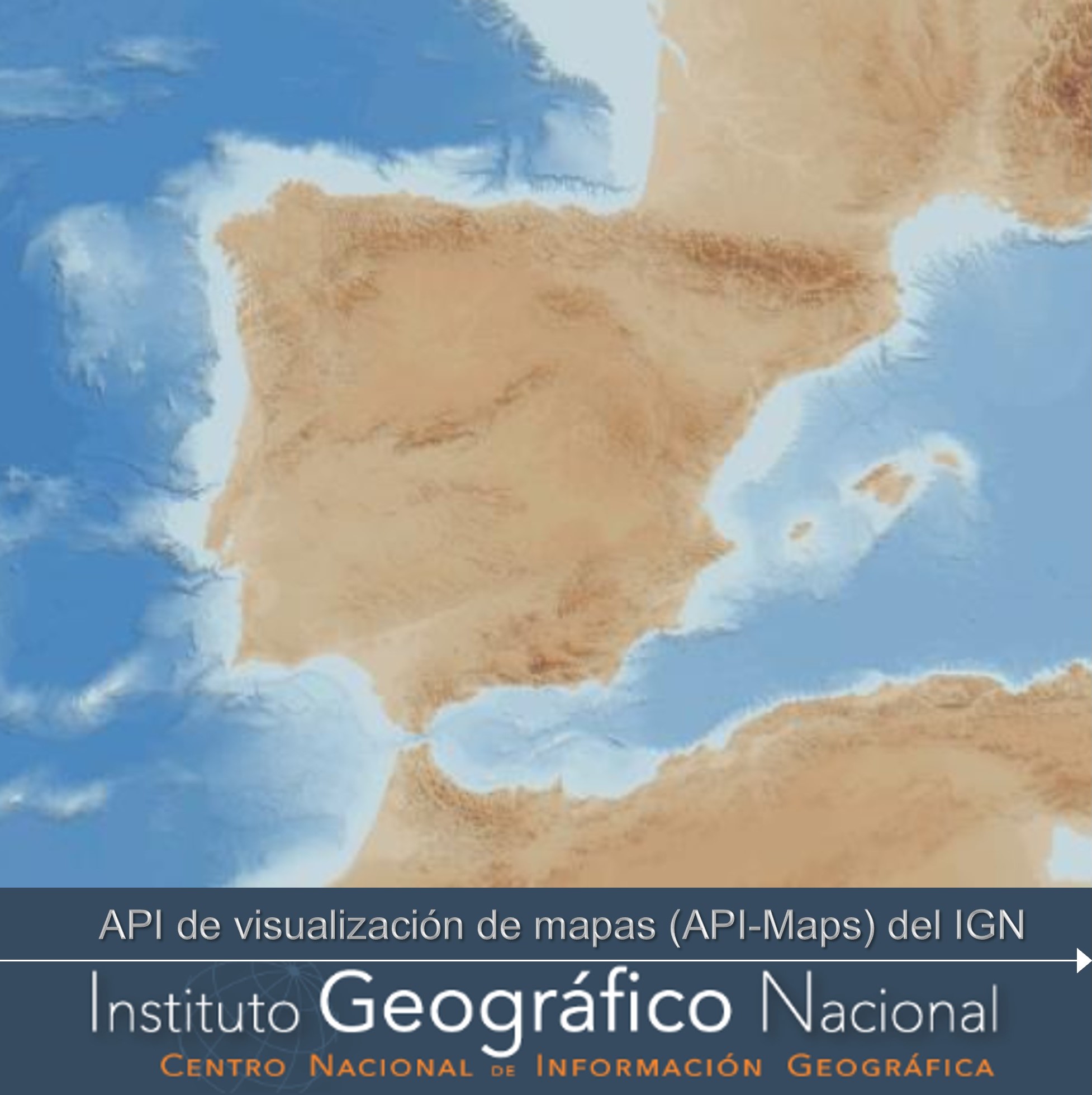
Mapping visualisation API (API-Maps) of Spain
Raster mapping visualisation API of the National Geographic Institute. It provides IGN raster cartography at different scales. Background layer elaborated from GEBCO Bathymetric Compilation Group 2021 (2021). The GEBCO_2021 Grid - a continuous terrain model of the global oceans and land. NERC EDS British Oceanographic Data Centre NOC. doi:10.5285/c6612cbe-50b3-0cff-e053-6c86abc09f8f. The service is based on the OGC API-Maps standard.
Simple
Identification info
- Date (Creation)
- 2023-03-30
- Credit
-
Instituto Geográfico Nacional
- Credit
-
Capa de fondo: GEBCO Bathymetric Compilation Group 2021 (2021). The GEBCO_2021 Grid - a continuous terrain model of the global oceans and land. NERC EDS British Oceanographic Data Centre NOC. doi:10.5285/c6612cbe-50b3-0cff-e053-6c86abc09f8f
- Point of contact
-
Organisation name Individual name Electronic mail address Role Spanish National Geographic Institute
Point of contact National Centre of Geographic Information (CNIG)
Publisher
-
WebServicesSpecification
-
-
ogcapi.ogc.org/maps
-
API Maps
-
OGC
-
- Keywords
-
-
API-Maps
-
MTNAR
-
MTN25raster
-
MTN50raster
-
MTN200raster
-
MTN500raster
-
MTN1250raster
-
SIANE_Mapa_18711
-
España
-
Instituto Geográfico Nacional
-
IGN
-
CNIG
-
Centro Nacional de Información Geográfica
-
- Access constraints
- Other restrictions
- Other constraints
- Sin limitaciones al acceso público.
- Use constraints
- Other restrictions
- Other constraints
- CC BY 4.0 ign
- Other constraints
-
http://www.ign.es/resources/licencia/Condiciones_licenciaUso_IGN.pdf
- Service Type
- view
))
- Coupling Type
- Tight
Contains Operations
- OnLine resource
-
Protocol Linkage Name OGC API - Maps https://api-maps.ign.es/ Mapping visualisation API (API-Maps) of Spain
- Hierarchy level
- Service
- Other
-
Servicio web de datos espaciales. Servicio de visualización
Conformance result
Conformance result
- Date (Publication)
- 2010-12-08
Citation identifier
- Explanation
- No conforme
- Pass
- No
Conformance result
- Date (Publication)
- 2008-12-04
Citation identifier
- Explanation
- Conforme
- Pass
- Yes
Metadata
- File identifier
- spaignapi_maps_ign XML
- Metadata language
- Spanish; Castilian
- Hierarchy level
- Service
- Hierarchy level name
-
Servicio
- Date stamp
- 2024-08-09
- Metadata standard name
-
INSPIRE Regulation Nº1205/2008
- Metadata standard version
-
TG 2.0
- Metadata author
-
Organisation name Individual name Electronic mail address Role Spanish National Geographic Institute
Point of contact
- Other language
-
Language Character encoding English UTF8