INSPIRE Geoportal
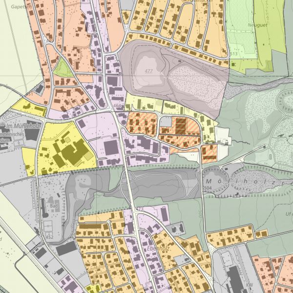
INSPIRE Planned Land Use
INSPIRE compliant dataset planned land use derived form landUse plans of the cummunities
Simple
- Alternate title
-
INSPIRE dataset planned land use
- Date (Creation)
- 2019-04-01T00:00:00
- Citation identifier
- https://metadata.geo.llv.li/6e0267a6-6160-49f6-9e2c-48a9a24b84c8
- Purpose
-
INSPIRE Implementation
- Status
- On going
- Point of contact
-
Organisation name Individual name Electronic mail address Role Surveying and Geoinformation Division
Point of contact
- Maintenance and update frequency
- As needed
-
GEMET
-
-
soil use
-
vector
-
-
geocat.ch
-
-
INSPIRE
-
-
GEMET - INSPIRE themes, version 1.0
-
-
Land use
-
-
GEMET themes
-
-
forestry
-
agriculture
-
building
-
administration
-
tourism
-
-
Spatial scope
-
-
National
-
- Access constraints
- Other restrictions
- Other constraints
- no limitations to public access
- Use limitation
-
Zugangs- und Nutzungsbedingungen
- Use constraints
- Other restrictions
- Other constraints
-
charges apply
- Spatial representation type
- Vector
- Denominator
- 500
- Language
- Deutsch
- Character set
- UTF8
- Topic category
-
- Imagery base maps earth cover
Extent
- Description
-
Liechtenstein
))

- Reference system identifier
- http://www.opengis.net/def/crs/EPSG/0/21782
- Reference system identifier
- http://www.opengis.net/def/crs/EPSG/0/4258
- Topology level
- Full planar graph
- Geometric object type
- Surface
- Geometric object count
- 100
- Distribution format
-
Name Version Geographic Markup Language (GML)
ESRI Shapefile (SHP)
- Distributor contact
-
Organisation name Individual name Electronic mail address Role Surveying and Geoinformation Division
Point of contact
- OnLine resource
-
Protocol Linkage Name WWW:LINK
https://geodaten.llv.li Geoportal of the national administration
WWW:LINK
https://www.llv.li/de/landesverwaltung/amt-fuer-tiefbau-und-geoinformation/geodateninfrastruktur/datenausgabe Website ABI data distribution office
OGC Web Map Service
https://service.geo.llv.li/mapserver/INSPIRE?service=WMS&request=GetCapabilities LU
ATOM Syndication Format
https://service.geo.llv.li/atom/service.xml INSPIRE Download Service (ATOM)
- Hierarchy level
- Dataset
- Other
-
Alle Ebenen
Domain consistency
Conformance result
- Date (Publication)
- 2010-12-08
- Explanation
-
nicht geprüft
- Pass
- No
Conformance result
- Date (Creation)
- 2013-12-10
- Explanation
-
konform
- Pass
- Yes
- Statement
-
dataset was tranformed from national standard to a INSPIRE compliant dataset
- Source
-
- Zonenplan der Gemeinde Balzers
- Zonenplan der Gemeinde Triesen
- Zonenplan der Gemeinde Eschen
- Zonenplan der Gemeinde Mauren
- Zonenplan der Gemeinde Vaduz
- Zonenplan der Gemeinde Schaan
- Zonenplan der Gemeinde Planken
- Zonenplan der Gemeinde Gamprin
- Zonenplan der Gemeinde Ruggell
- Zonenplan der Gemeinde Schellenberg
- Zonenpläne der Gemeinde Triesenberg
Metadata
- File identifier
- 6e0267a6-6160-49f6-9e2c-48a9a24b84c8 XML
- Metadata language
- Deutsch
- Character set
- UTF8
- Hierarchy level
- Dataset
- Date stamp
- 2024-04-30T05:35:44.438Z
- Metadata standard name
-
GM03 2+
- Metadata author
-
Organisation name Individual name Electronic mail address Role Surveying and Geoinformation Division
Point of contact
- Other language
-
Language Character encoding French UTF8 Italian UTF8 English UTF8 Romansh UTF8 German UTF8