 INSPIRE Geoportal
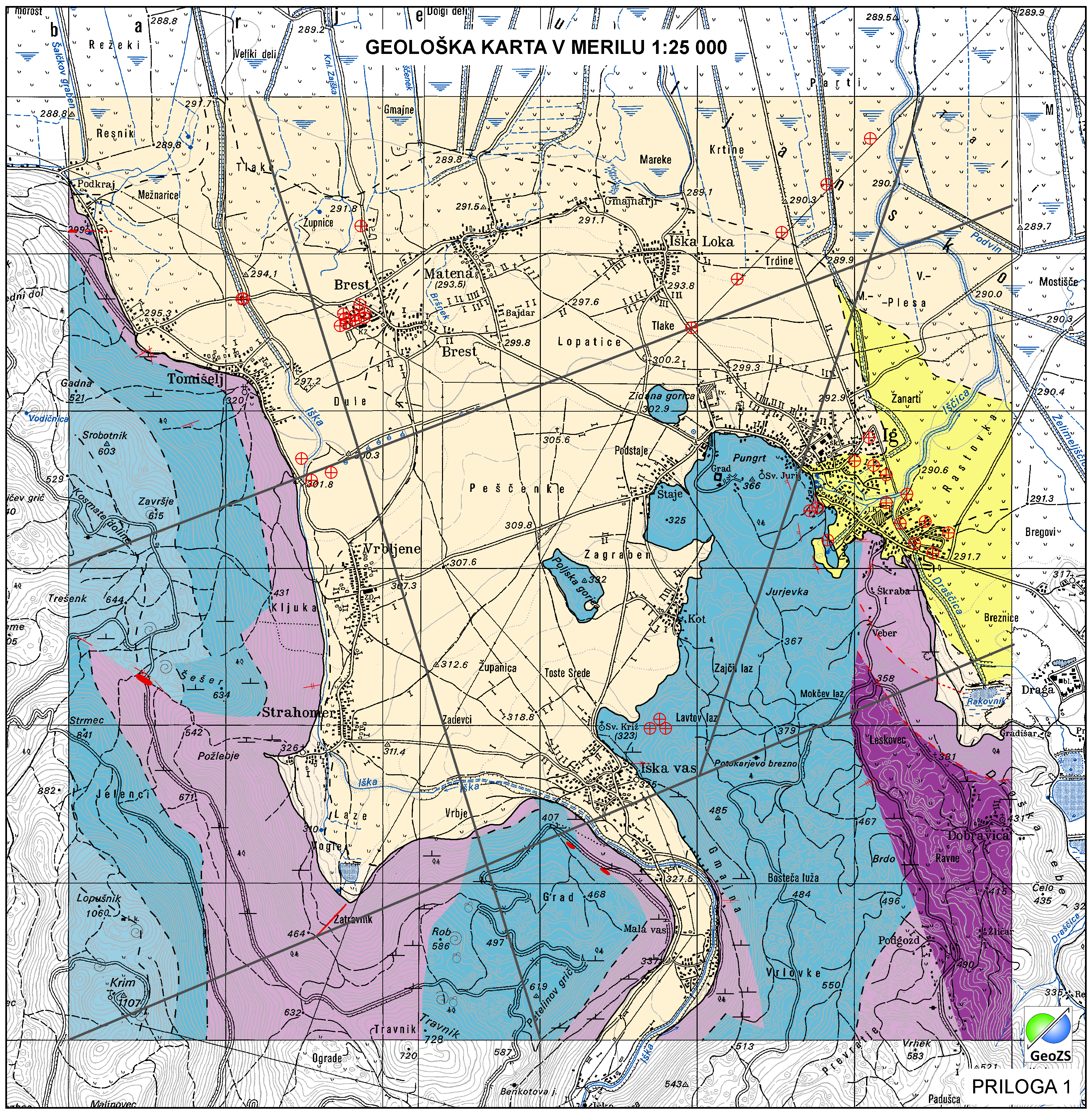
Hydrogeological map of Iška alluvial fan 1:25 000 ATOM services
Data of Geological map were reclassified into classes of IAH classification on the base of hydrogeological characteristics. IAH classification is based on description of the hydrogeological units. Firstly, based on extensiveness and productivity and secondly on type of porosity.
The purpose is to provide assistance to the strategy of groundwater exploitation as to protection and water resources management.
Simple
Identification info
-
Date (Creation)
- 2021-10-10
-
Date (Publication)
- 2021-10-10
-
Date (Revision)
- 2021-10-10
-
Purpose
-
The main objective of the map is the identification and characterization of groundwater bodies on the national scale (level). Also offers support for groundwater resources management and protection.
- Point of contact
-
Organisation name Individual name Electronic mail address Role Geološki zavod Slovenije
info@geo-zs.si
OwnerGeološki zavod Slovenije
Matija Krivic
matija.krivic@geo-zs.si
Point of contactGeološki zavod Slovenije
info@geo-zs.si
Custodian
-
Theme
-
-
ATOM
-
-
GEMET - INSPIRE themes, version 1.0
-
-
Geology
-
-
Place
-
-
Slovenia
-
-
Theme
-
-
geology
-
hydrogeology
-
-
Theme
-
-
INSPIRE
-
EGDI
-
-
ISO - 19119 geographic services taxonomy
-
-
infoFeatureAccessService
-
-
Theme
-
-
regionalna geologija
-
-
Spatial scope
-
-
Local
-
-
Access constraints
-
Copyright
-
Other constraints
-
Hidrogeološka karta Iškega vršaja v merilu 1:25000. Hidrogeološka karta še ni v uporabi "OSNUTEK"
-
Other constraints
-
Data is available under a Creative Commons - Attribution 4.0 International (CC BY 4.0) license. ( https://creativecommons.org/licenses/by/4.0)
-
Service Type
- download
- Fees
-
NONE
))
-
Coupling Type
-
Tight
-
Reference system identifier
- EPSG / http://www.opengis.net/def/crs/EPSG/0/3794 /
- Distribution format
-
Name Version ATOM
1
- OnLine resource
-
Protocol Linkage Name INSPIRE-ATOM
https://egeologija.si/download/Download_service_feed_HGGE_ISKA_aluviall_fan.xml Hydrogeological map - predefined data download atom feed
-
Hierarchy level
-
Service
- Other
-
service
Conformance result
-
Date (Publication)
- 2009-10-19
- Explanation
-
See the referenced specification
-
Pass
- Yes
Metadata
-
File identifier
- b044eb4f-b75f-4122-9586-e736e8047f24 XML
-
Metadata language
- slv
-
Character set
-
UTF8
-
Hierarchy level
-
Service
- Hierarchy level name
-
infoFeatureAccessService
-
Date stamp
- 2022-01-04T13:15:47
- Metadata standard name
-
ISO 19115:2003/19139
- Metadata standard version
-
1.0
- Metadata author
-
Organisation name Individual name Electronic mail address Role Geološki zavod Slovenije
Matija Krivic
matija.krivic@geo-zs.si
Point of contact
- Other language
-
Language Character encoding EnglishUTF8
Overviews
Spatial extent
Provided by
