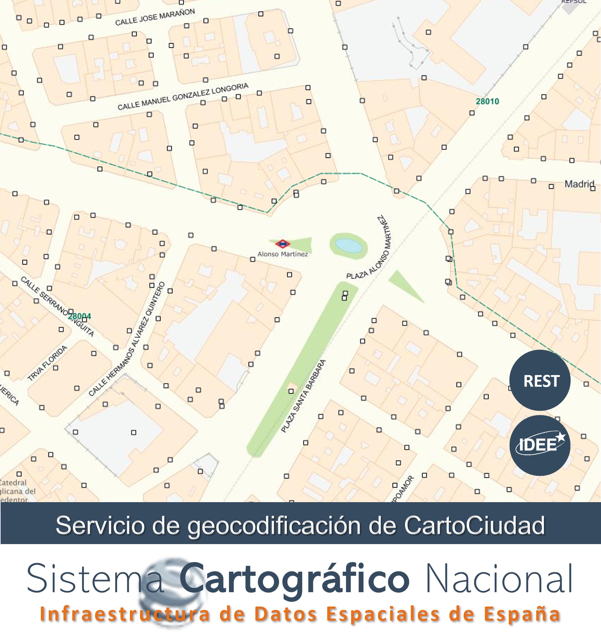
Geocoder Service Addresses, geographical names and POI of Spain (CartoCity)
Geocoder service for postal addresses and administrative boundaries of Spain, from official data: Geographic Information Reference Transport Network (IGR-RT) of the National Cartographic System (SCN), Eusko Jaurlaritza - Basque Government, General Directorate of Cadastre, Government of Navarre, Institute of Statistics and Cartography of Andalusia (CDAU), Community of Madrid, Government of La Rioja, Diputació de Barcelona, Cáceres City Council, Valencian Cartographic Institute (Generalitat Valenciana), Correos Group, National Geographic Institute (IGN), and National Statistics Institute (INE).
The addresses are compliant with the INSPIRE Directive 2007/2/EC as well as their style. WMS 1.3.0 visualisation service in accordance with the Inspire profile of ISO 19128:2005.
Simple
Identification info
- Date (Creation)
- 2014-01-01
- Point of contact
-
Organisation name Individual name Electronic mail address Role Spanish Spatial Data Infrastructure (IDEE)
Point of contact
-
INSPIRE_SpatialDataServicesClassification
-
-
infoManagementService
-
thematicGeocodingService
-
- Keywords
-
-
Puntos Kilométricos
-
Portales
-
Cartociudad
-
IDEE
-
Infraestructura de Datos Espaciales
-
Sistema Cartográfico Nacional
-
SCNE
-
- Access constraints
- Other restrictions
- Other constraints
- Sin limitaciones al acceso público.
- Use constraints
- Other restrictions
- Other constraints
- CC BY 4.0
- Other constraints
-
http://www.ign.es/resources/licencia/Condiciones_licenciaUso_IGN.pdf
- Service Type
- other
))
- Coupling Type
- Tight
- Contains Operations
-
Operation Name Distributed Computing Platforms Connect Point invoke
Web services https://www.cartociudad.es/geocoder/api/geocoder/candidatesJsonp?q=calle iglesia 5, madrid&limit=4
- Unique resource identifier
- EPSG:4258 (ETRS89 coordenadas geográficas)
- Distribution format
-
Name Version text
- OnLine resource
-
Protocol Linkage Name WWW:DOWNLOAD-1.0-http--download
https://www.cartociudad.es/geocoder/api/geocoder/candidatesJsonp?q=calle iglesia 5, madrid&limit=4 Geocoder Service Addresses, geographical names and POI of Spain (CartoCity)
- Hierarchy level
- Service
- Other
-
Servicio web de datos espaciales. Servicio de invocación
Conformance result
Conformance result
Conformance result
Conformance result
Metadata
- File identifier
- spaignrest_cartociudad_address XML
- Metadata language
- Spanish; Castilian
- Hierarchy level
- Service
- Hierarchy level name
-
Servicio
- Date stamp
- 2023-12-12
- Metadata standard name
-
INSPIRE Regulation Nº1205/2008
- Metadata standard version
-
TG 2.0
- Metadata author
-
Organisation name Individual name Electronic mail address Role Spanish Spatial Data Infrastructure (IDEE)
Point of contact
- Other language
-
Language Character encoding English UTF8
Overviews

Spatial extent
))
Provided by

 INSPIRE Geoportal